
TIDAL BLOCK


MY OBSESSION TO SEE ALL THE TIDAL LEVELS AT ONCE
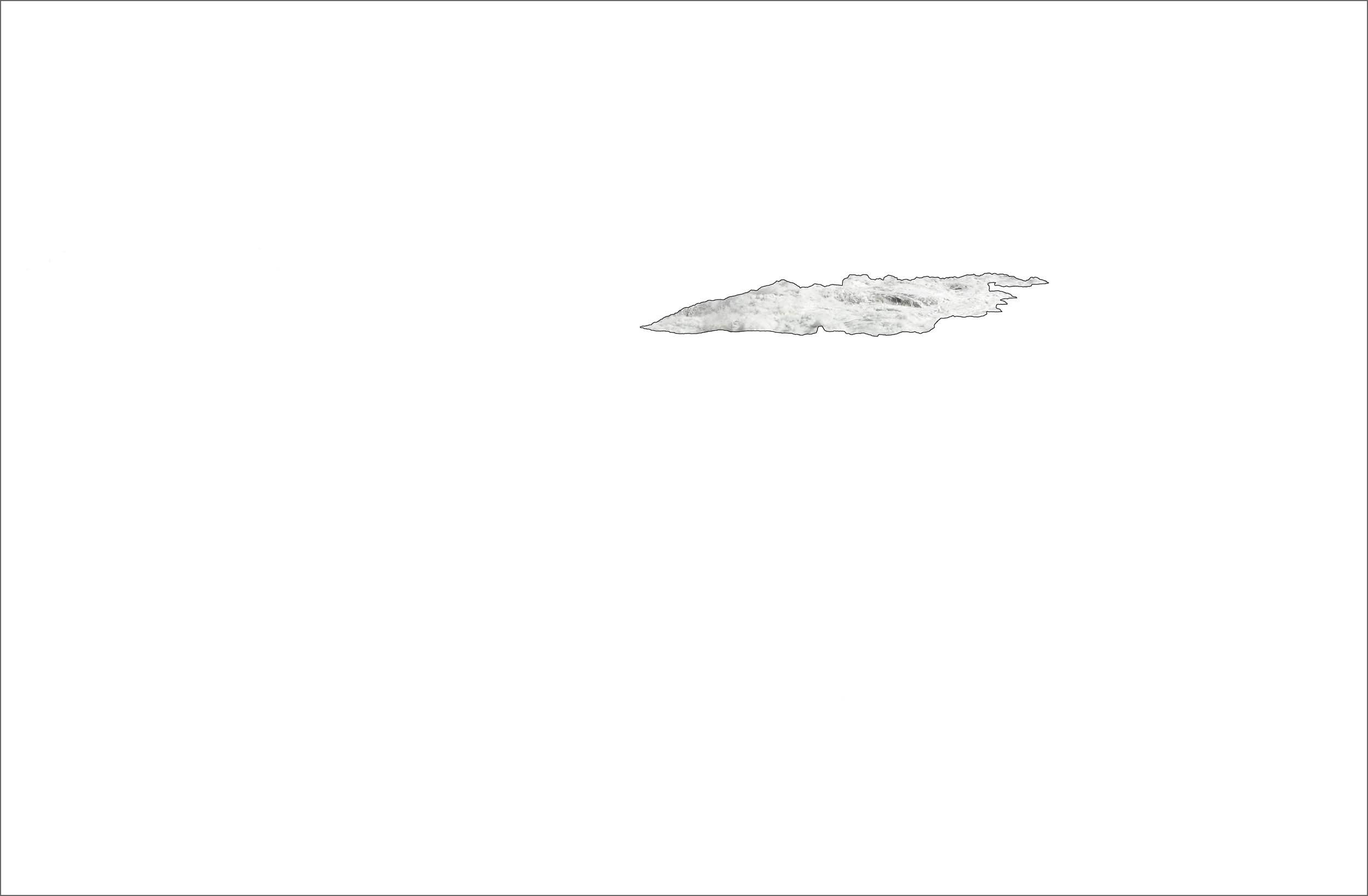
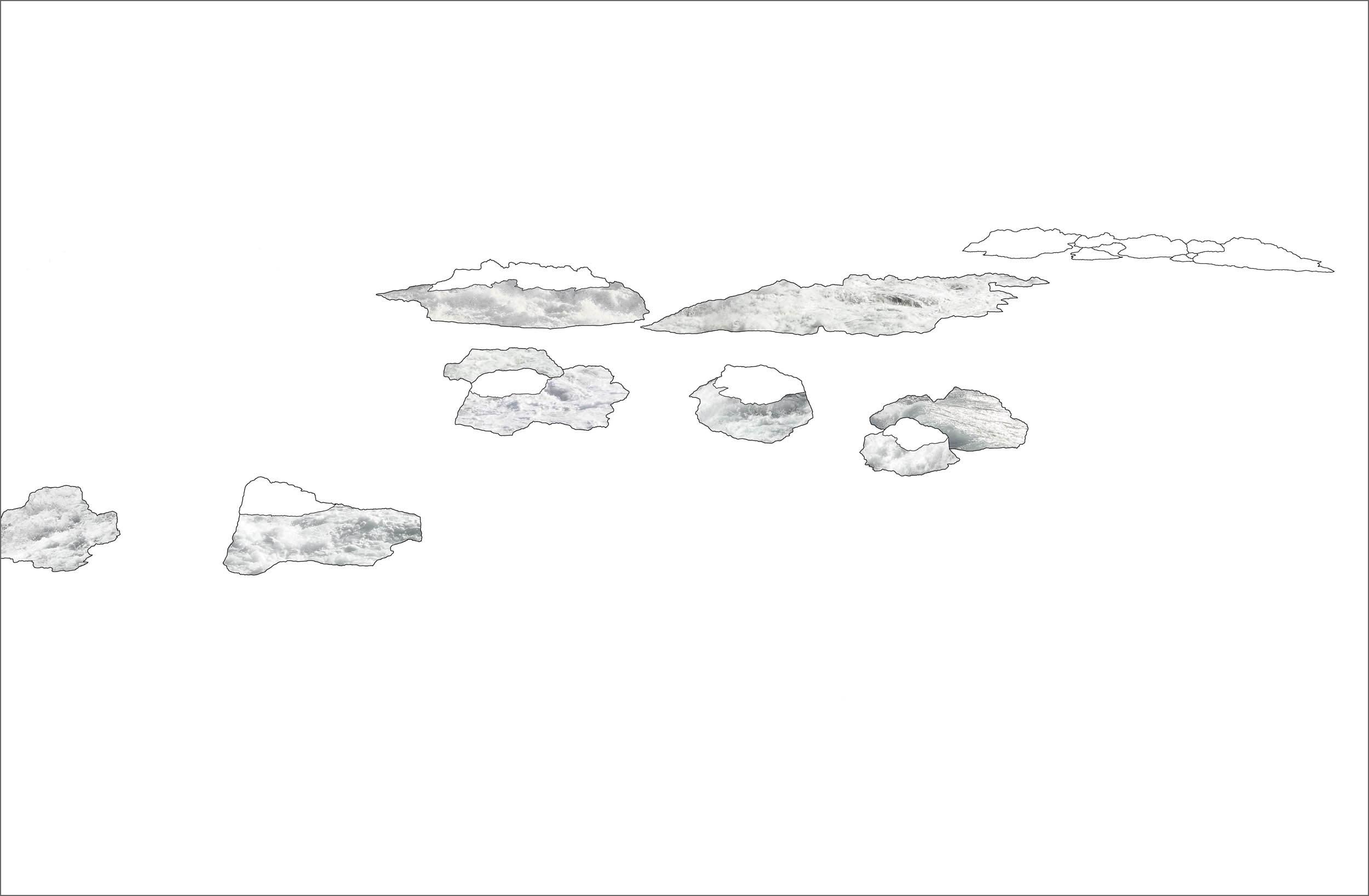
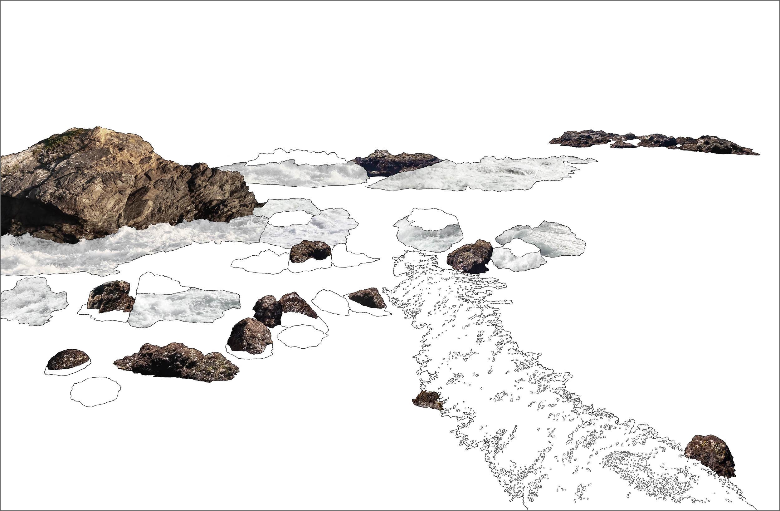
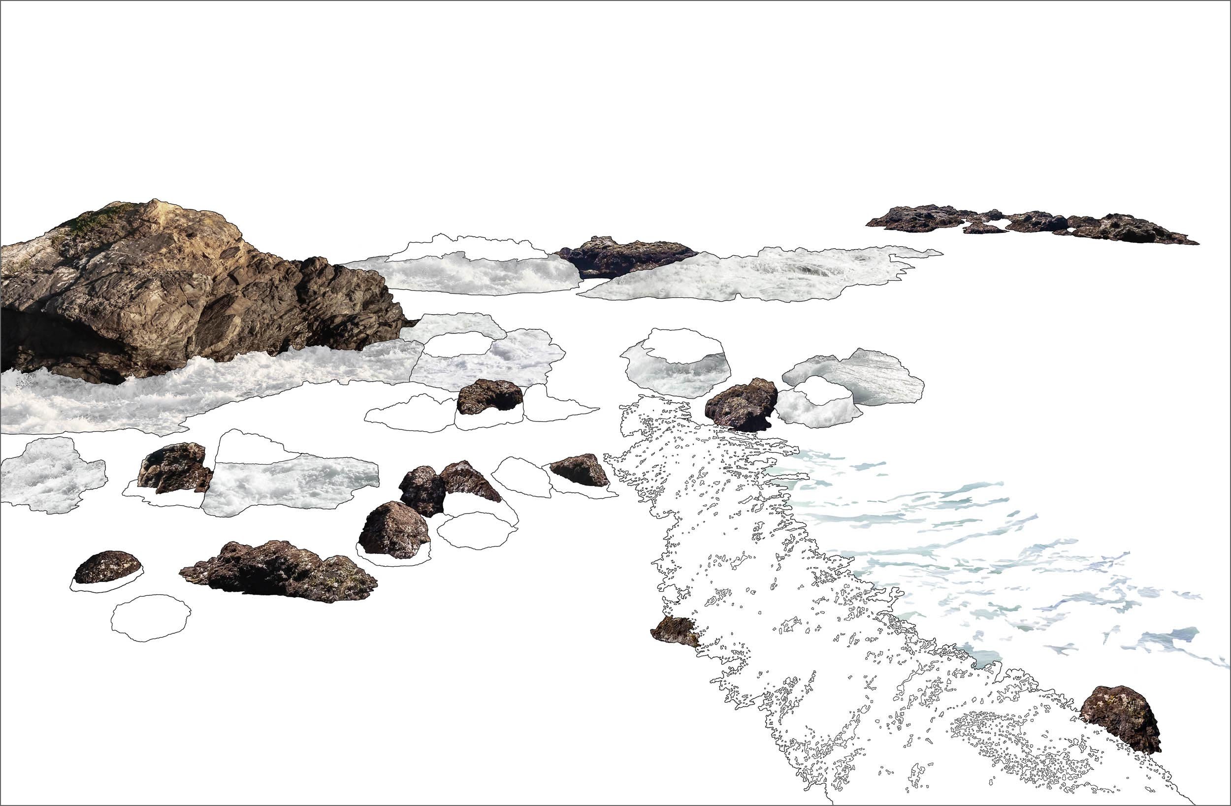
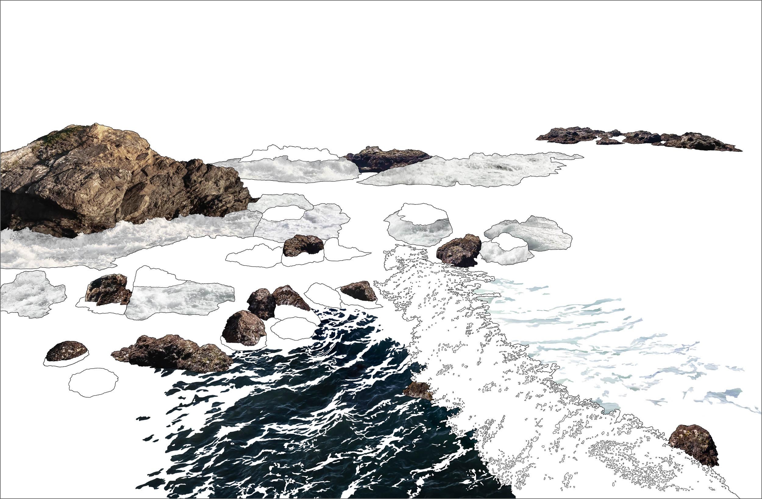
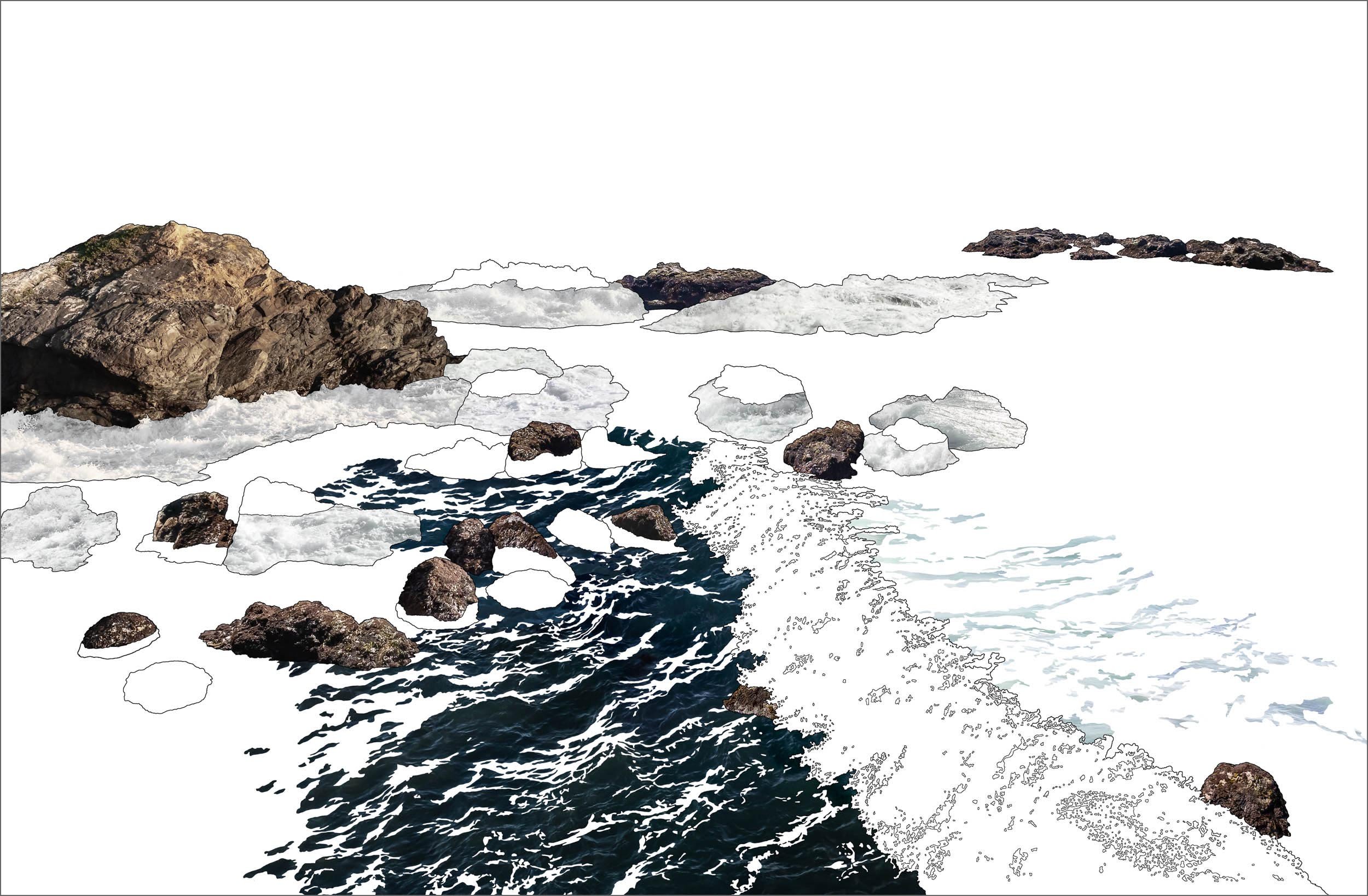
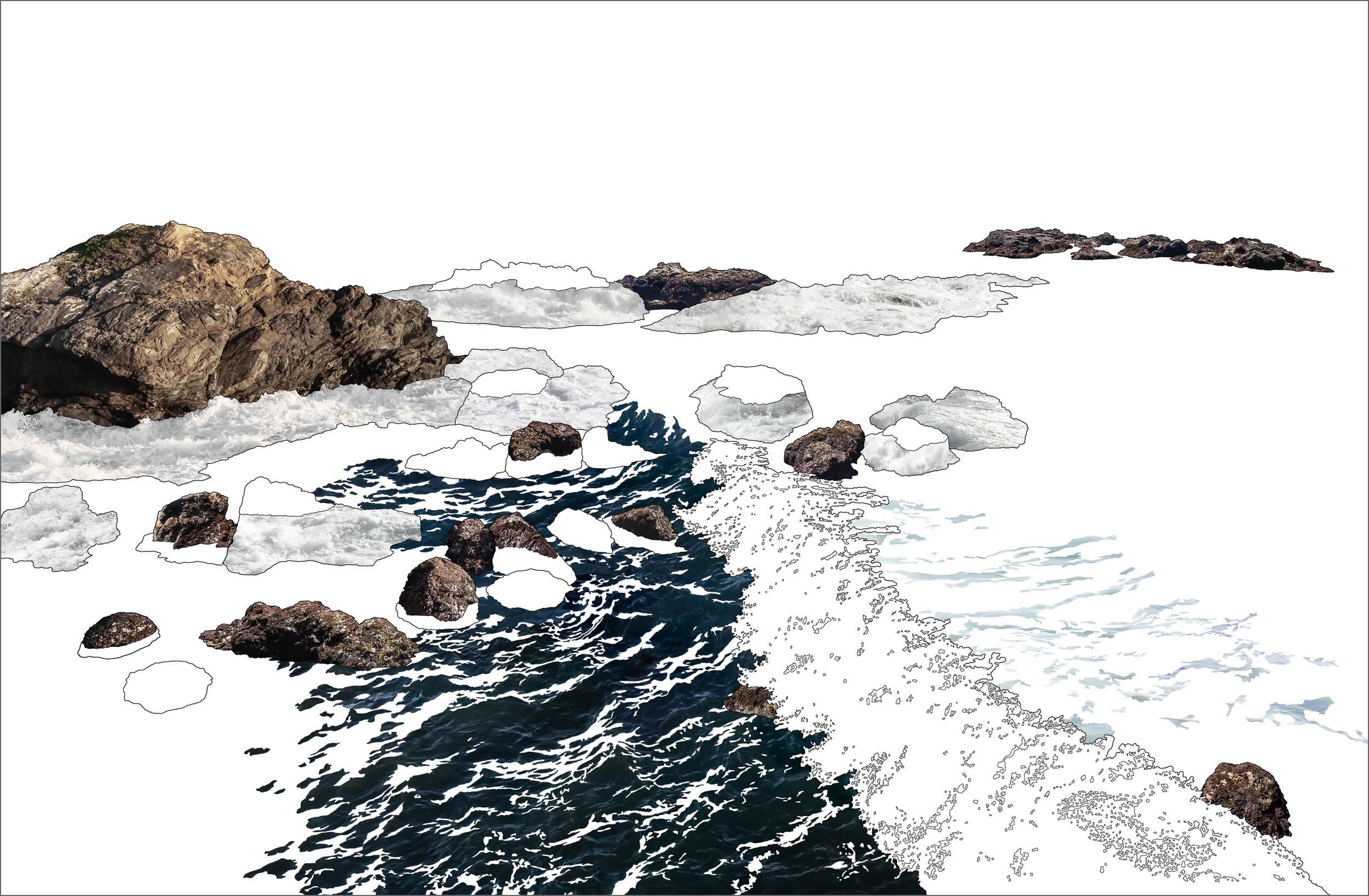
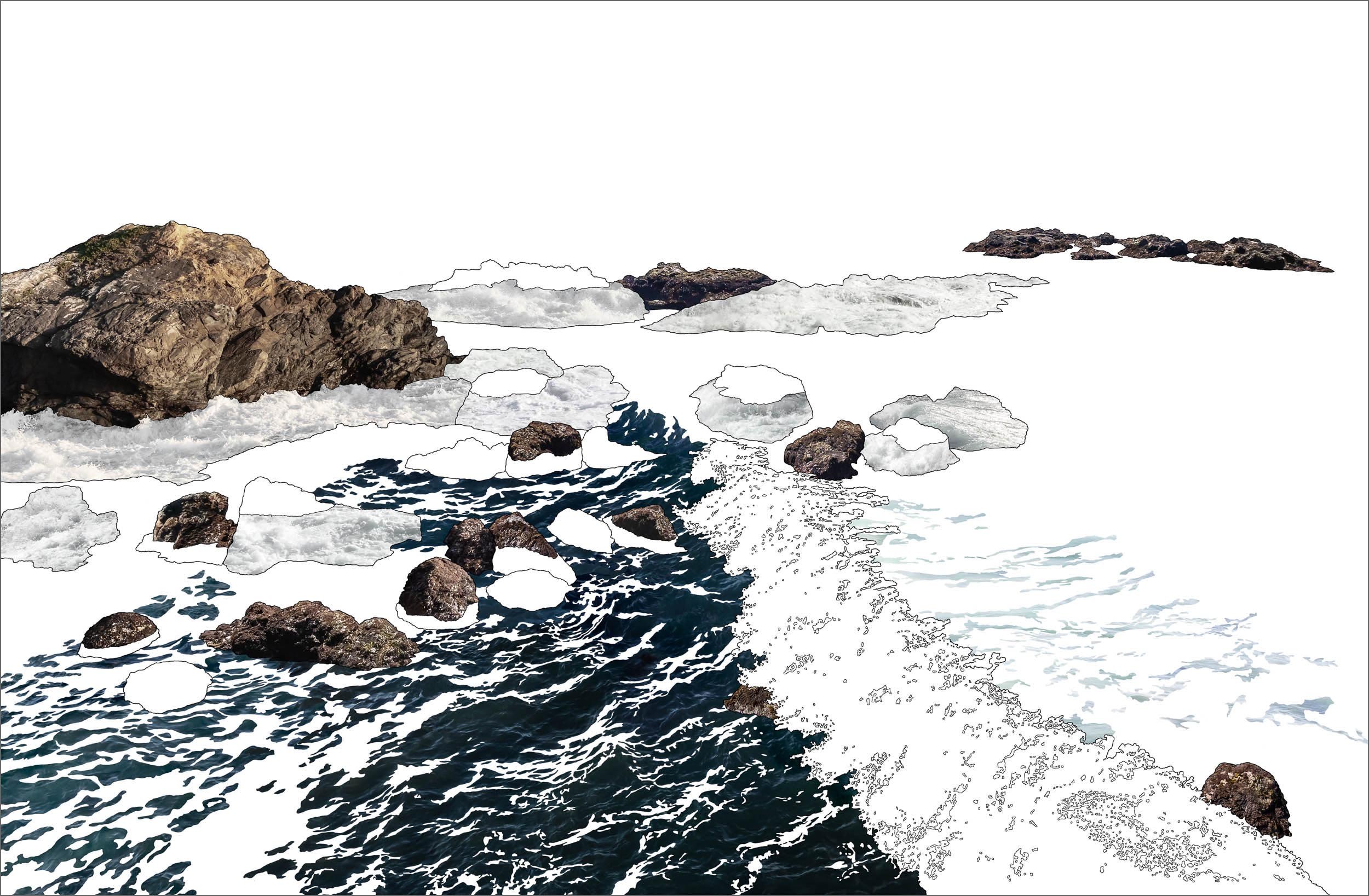
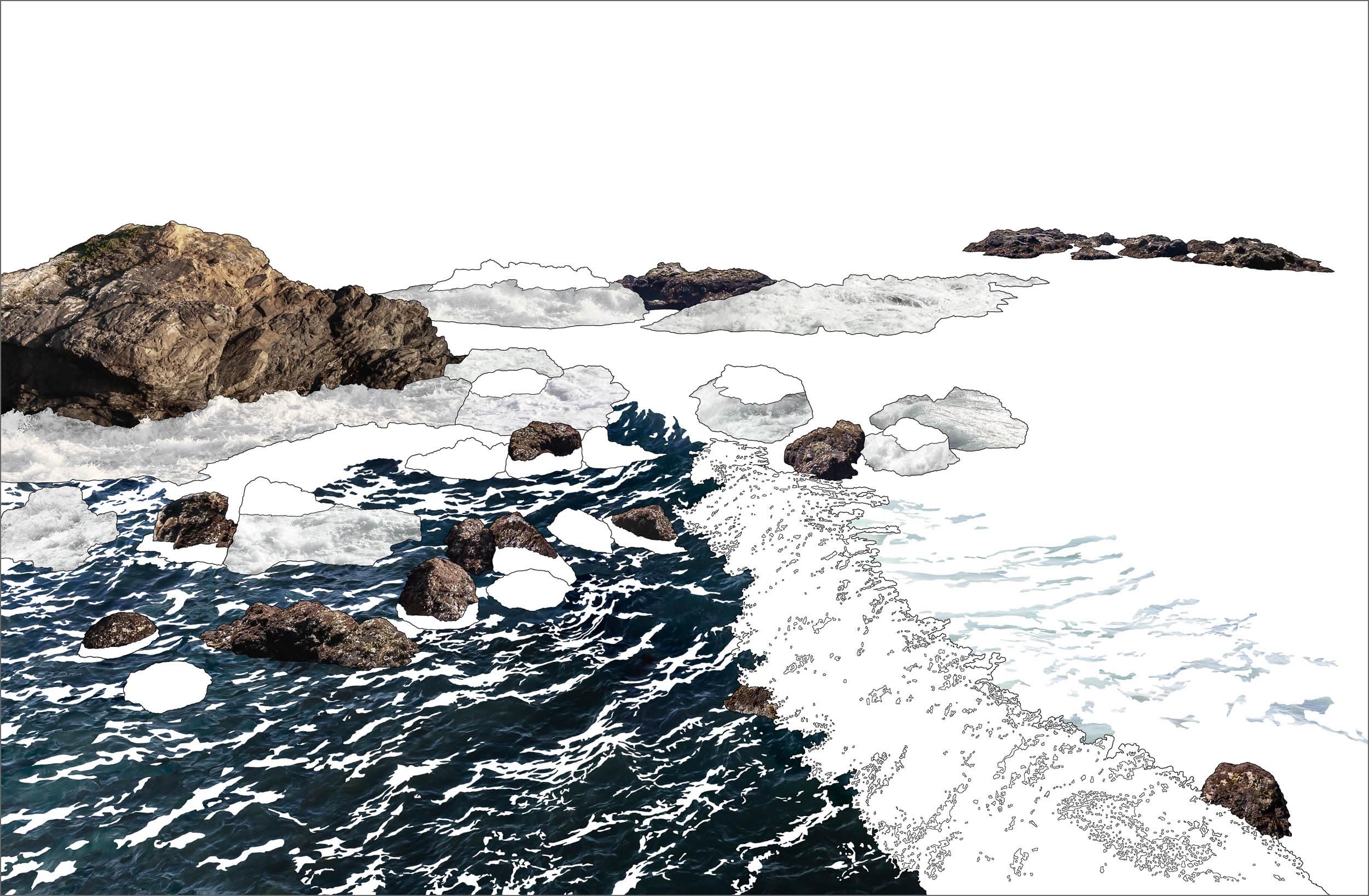
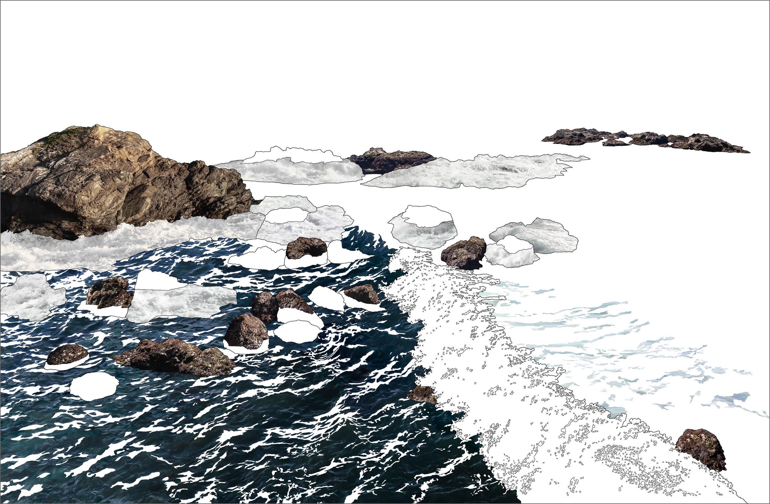
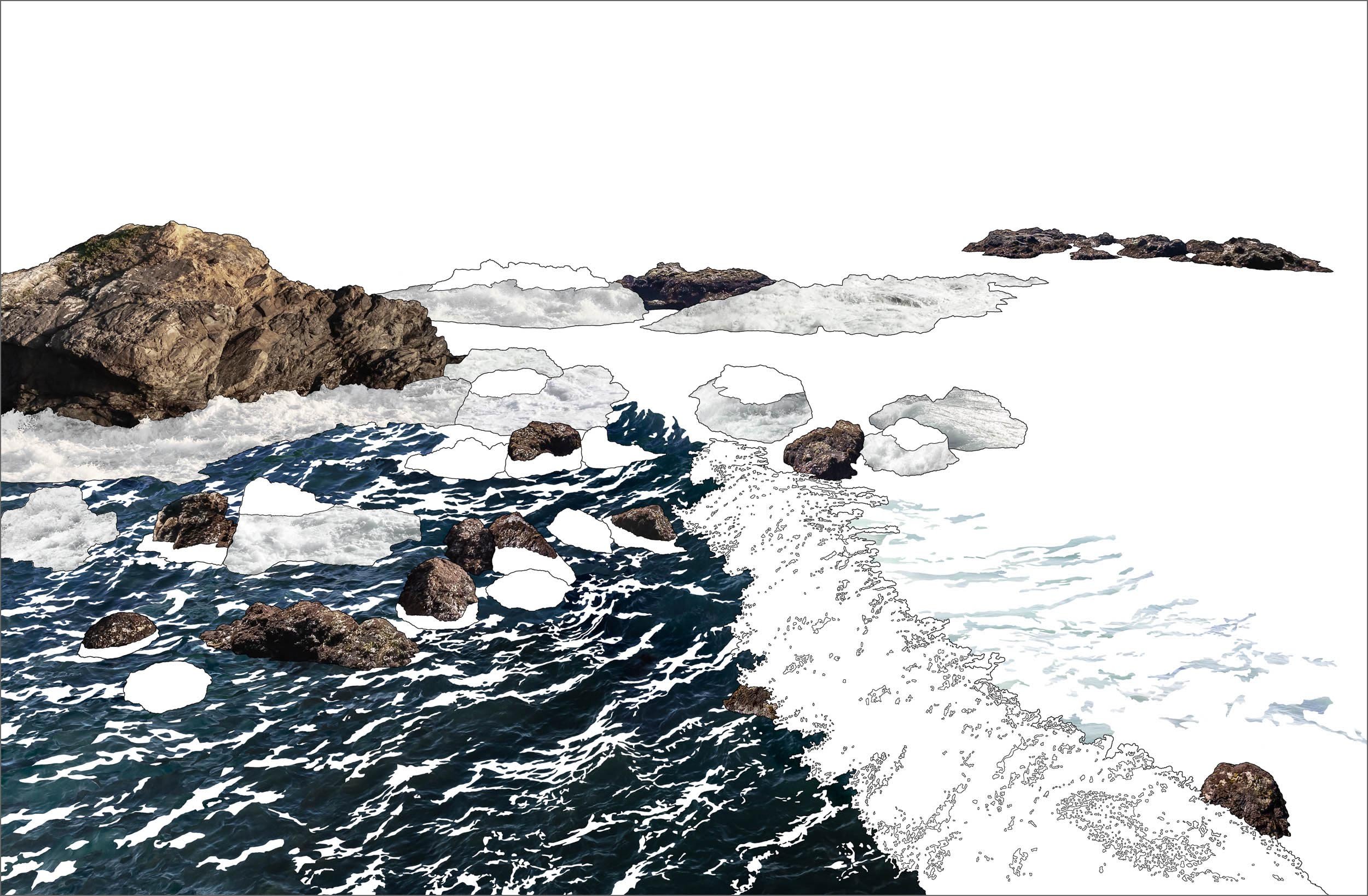
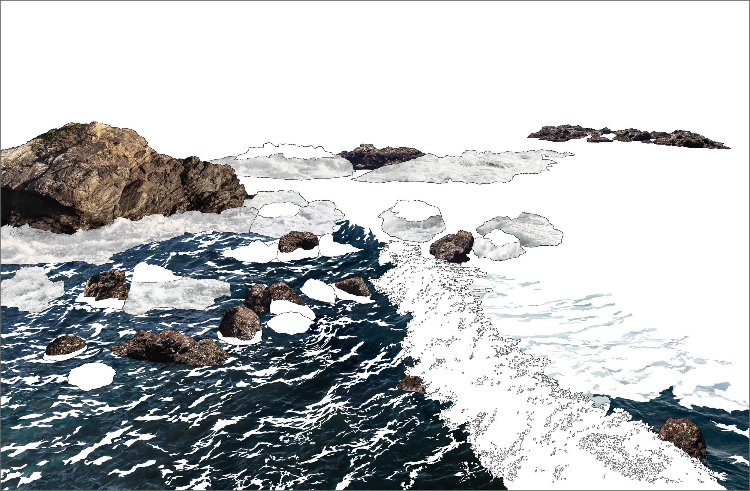
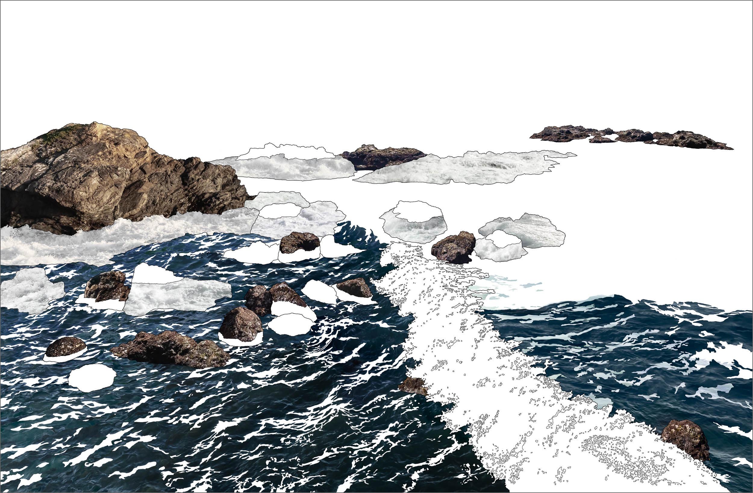
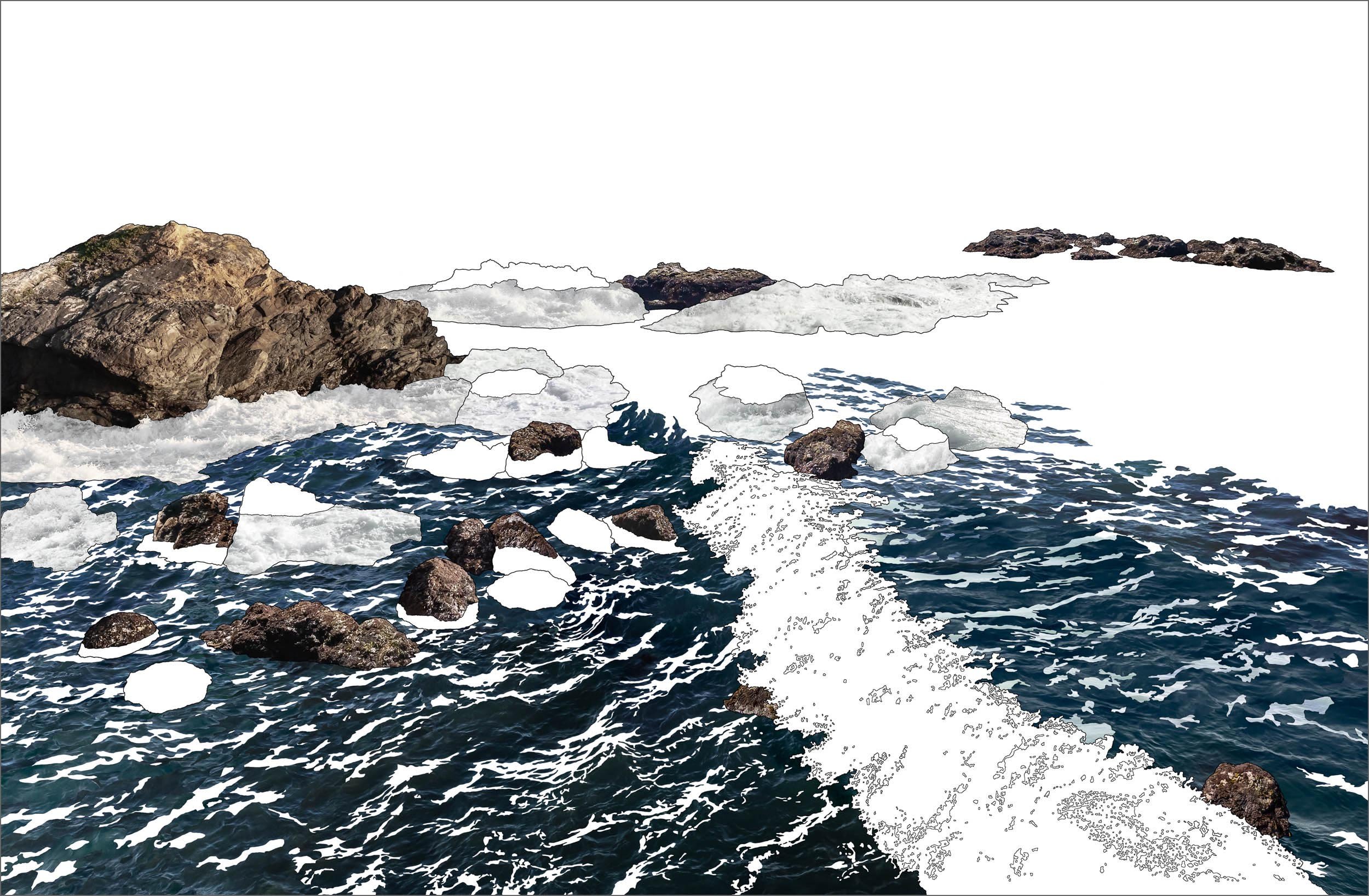
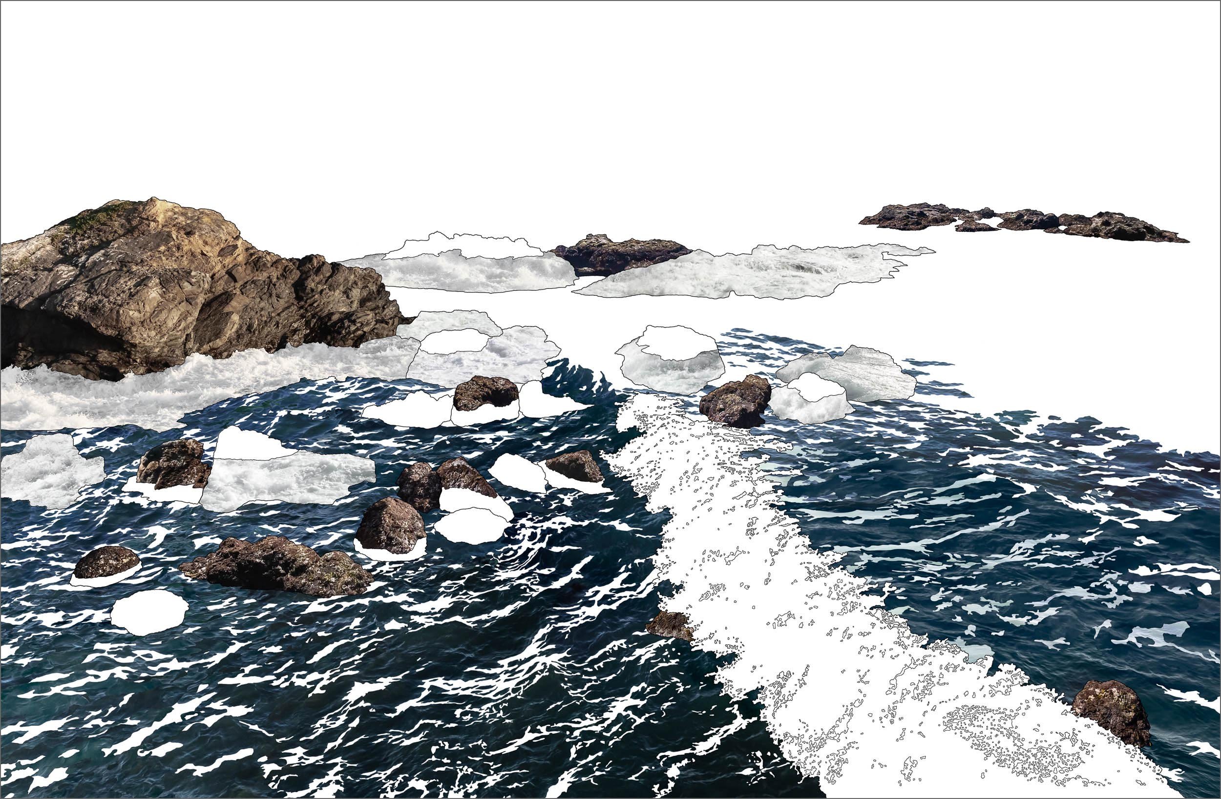
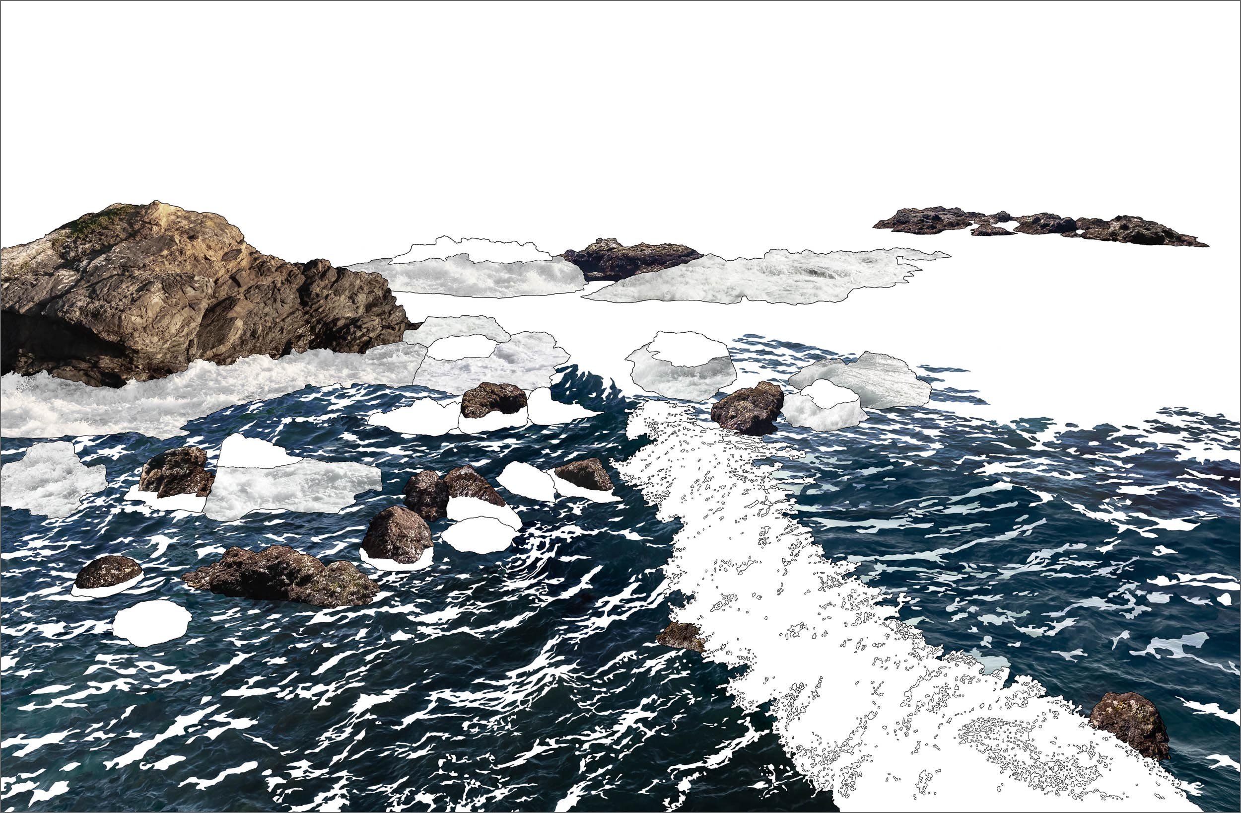
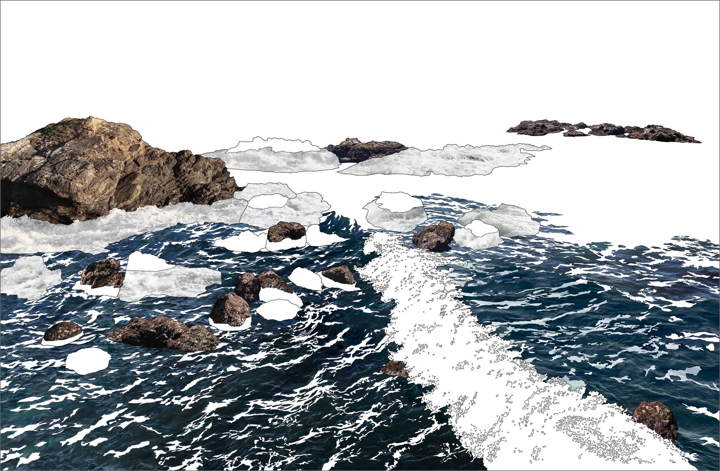
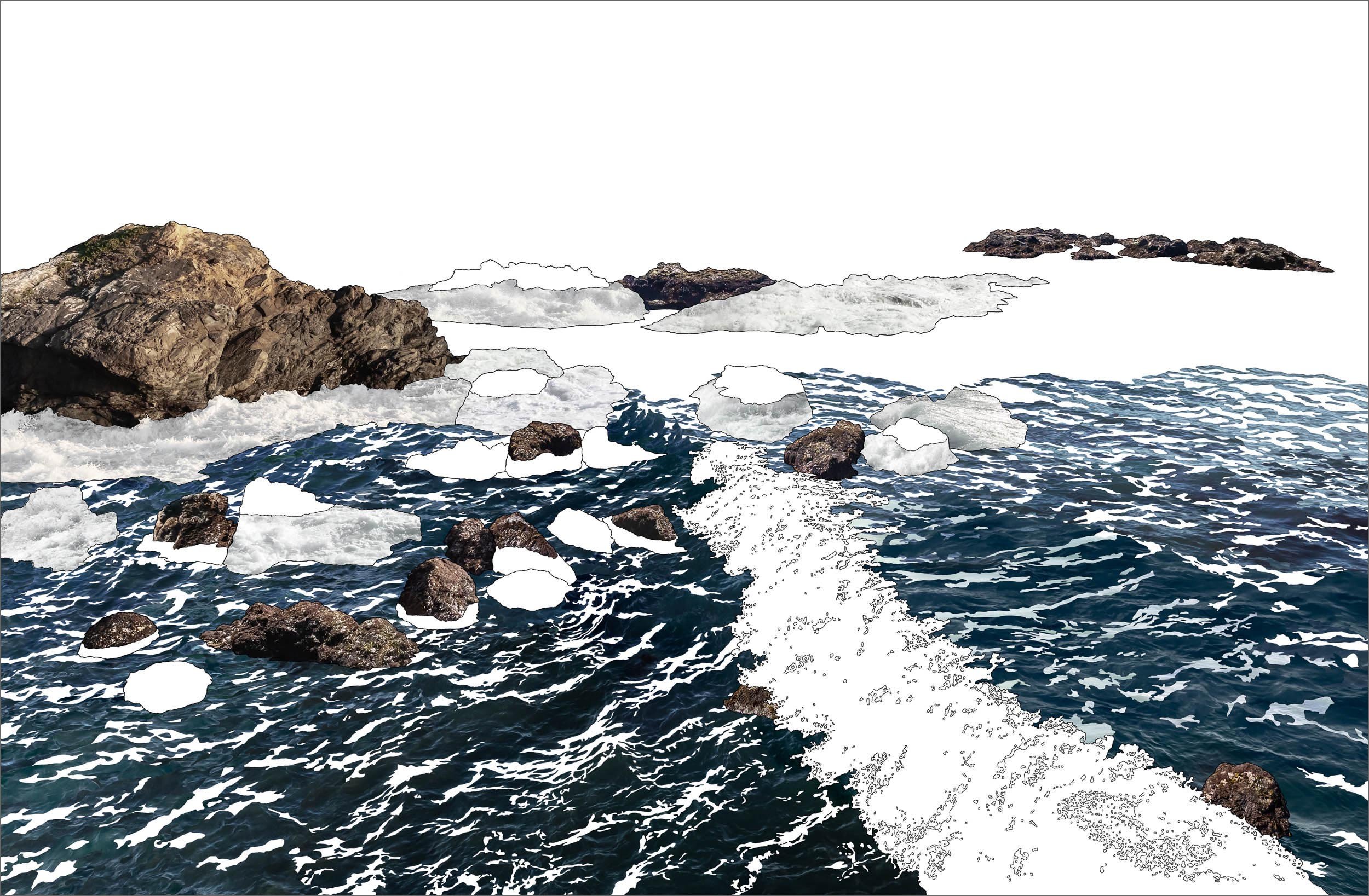
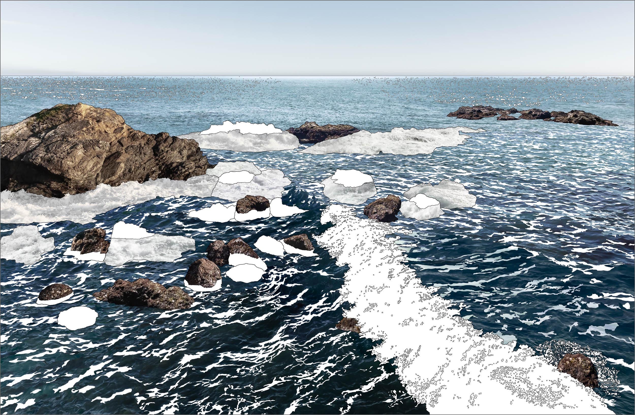
The first time I visited Wild Moor Point white water crested the tallest rocks. The second time the water was all but gone. Taking one landscape photograph wasn’t compelling but the drastic expanse in the tidal levels was. The question arose, how can I express the magnitude of tidal change here all at once? It took 2 years to find the answer and another 2 years to create the Tidal Block picture. Finally, my efforts unveiled a singular day that could never exist allowing me to see the cumulative memories of tidal strata simultaneously.
THE COLOR OF TIME
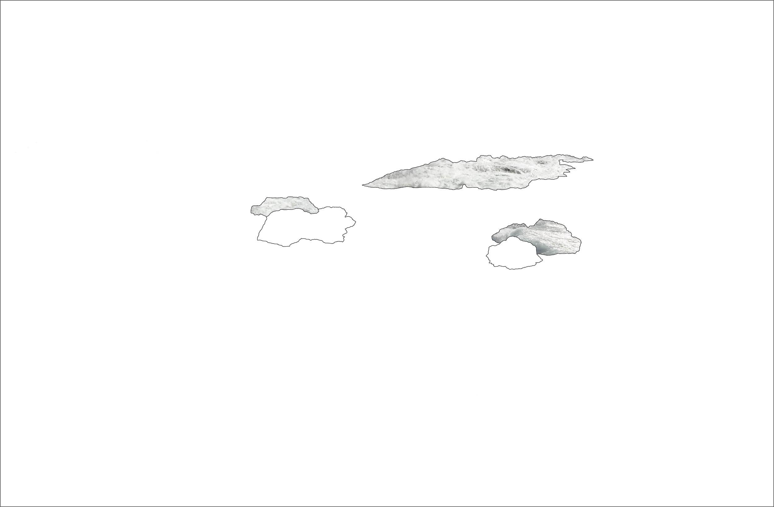
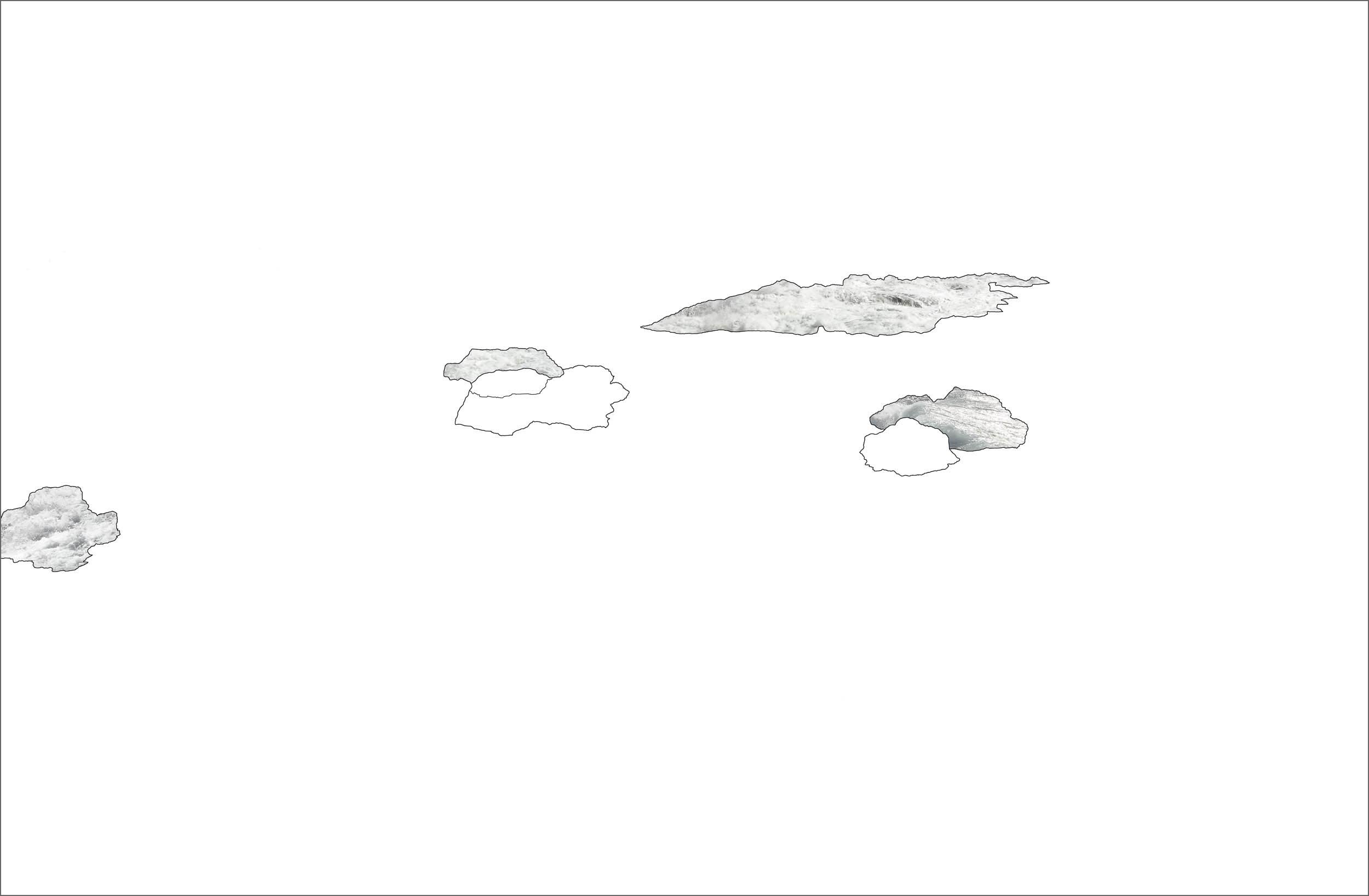
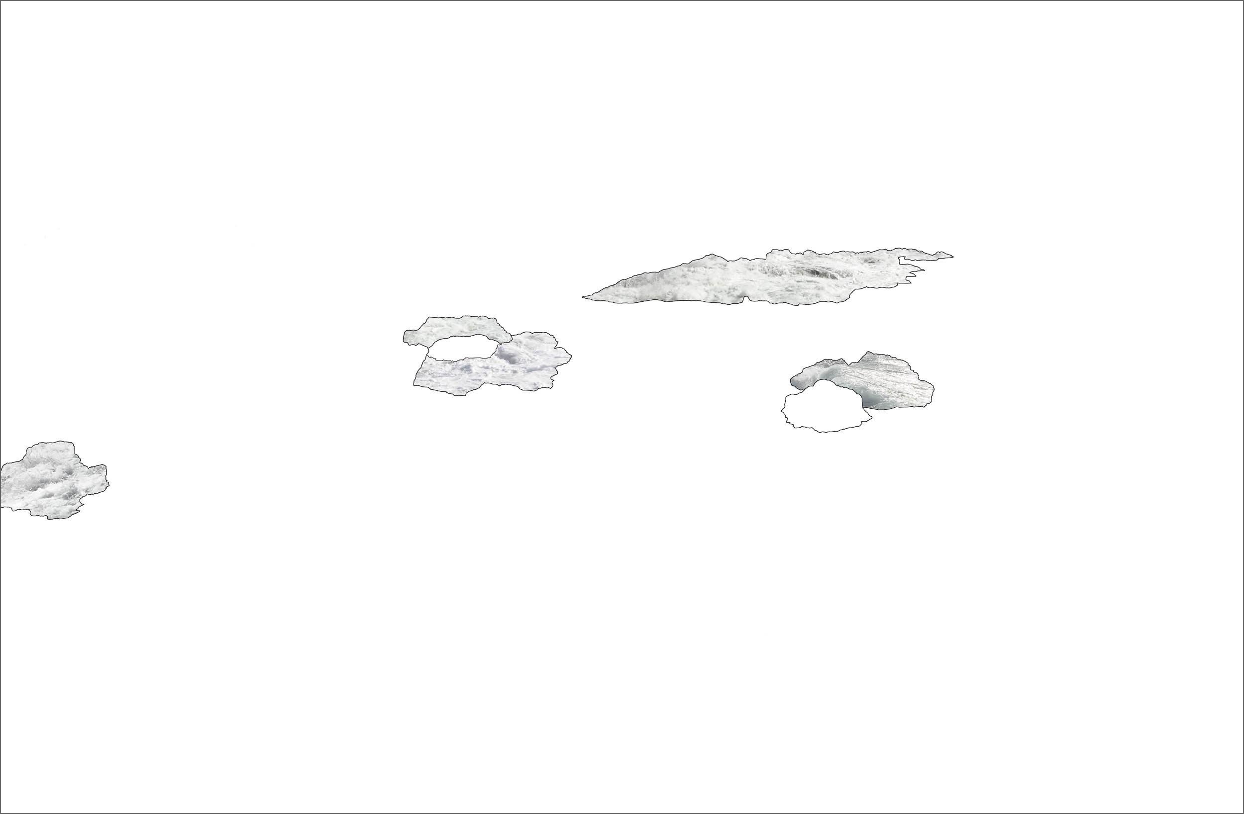
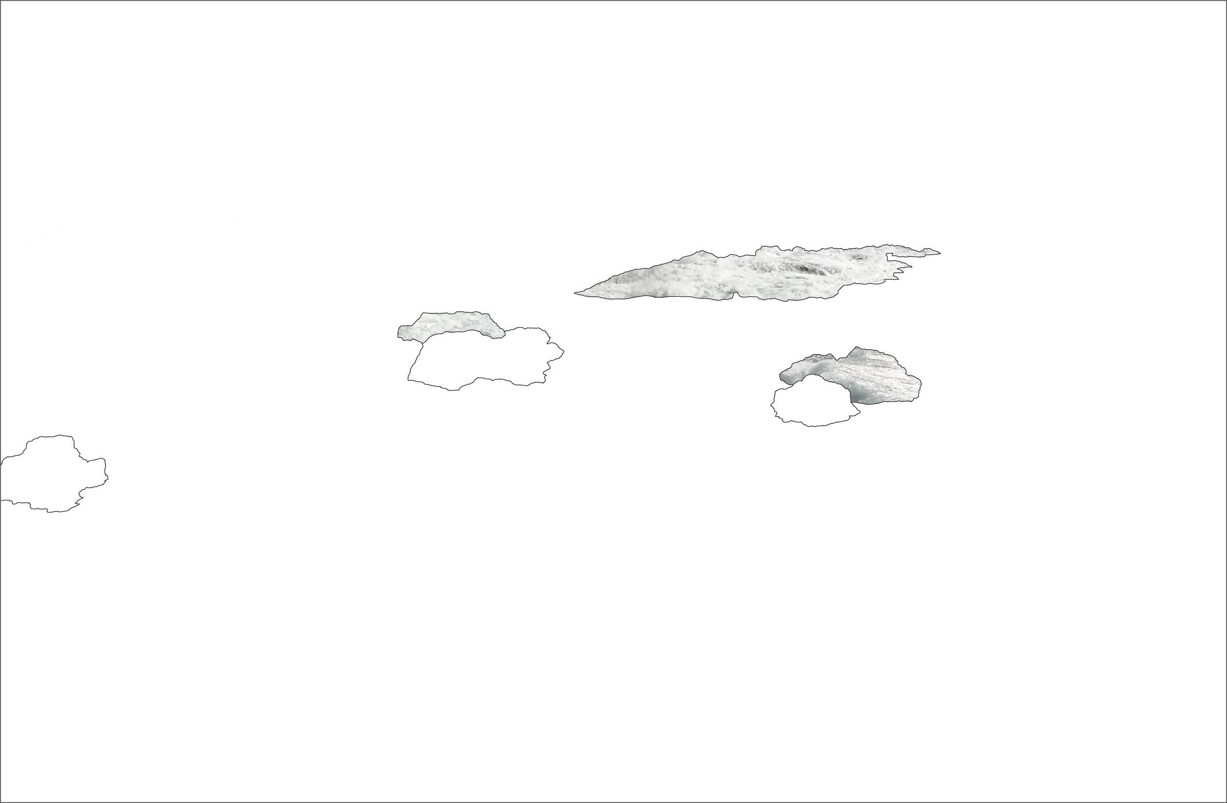
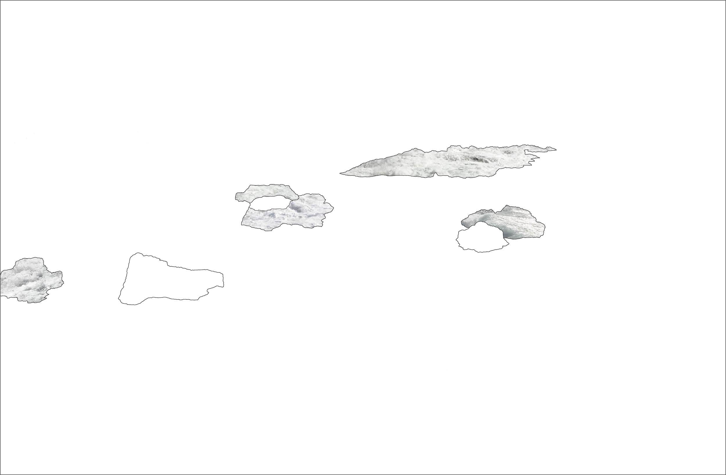
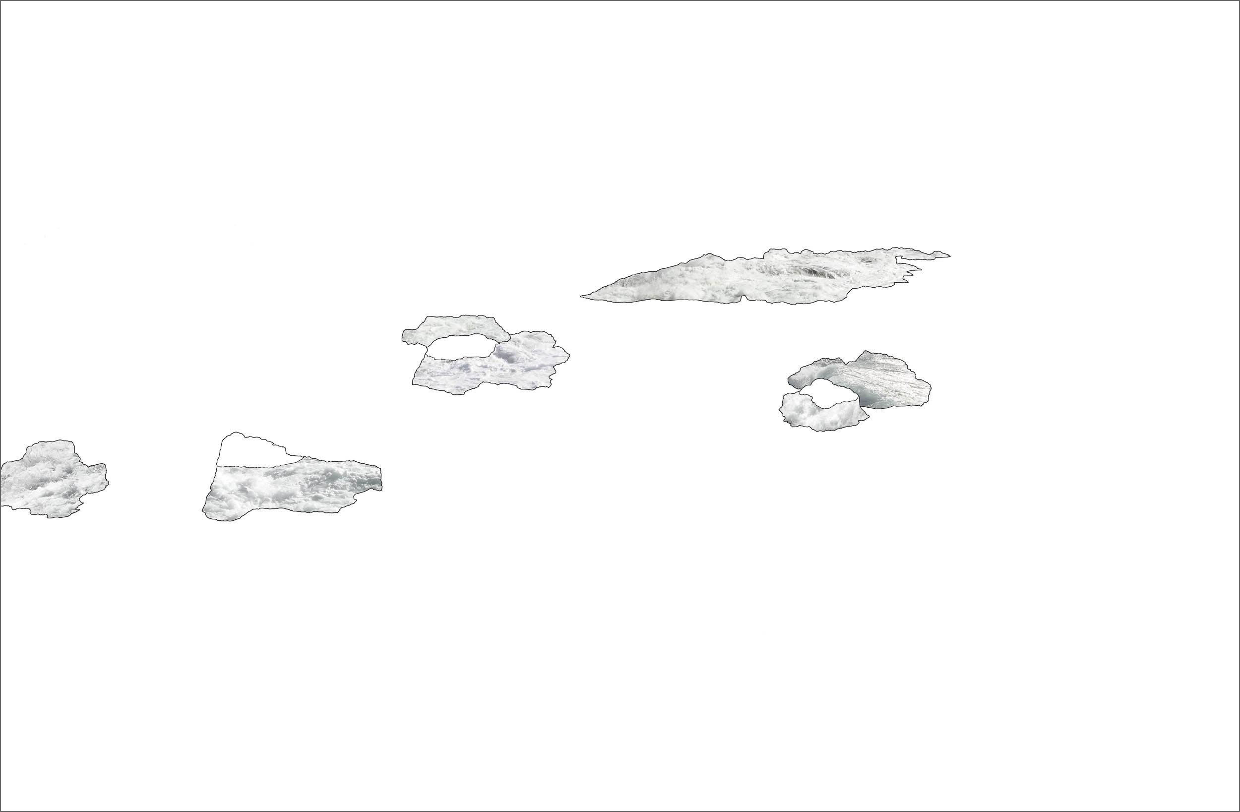
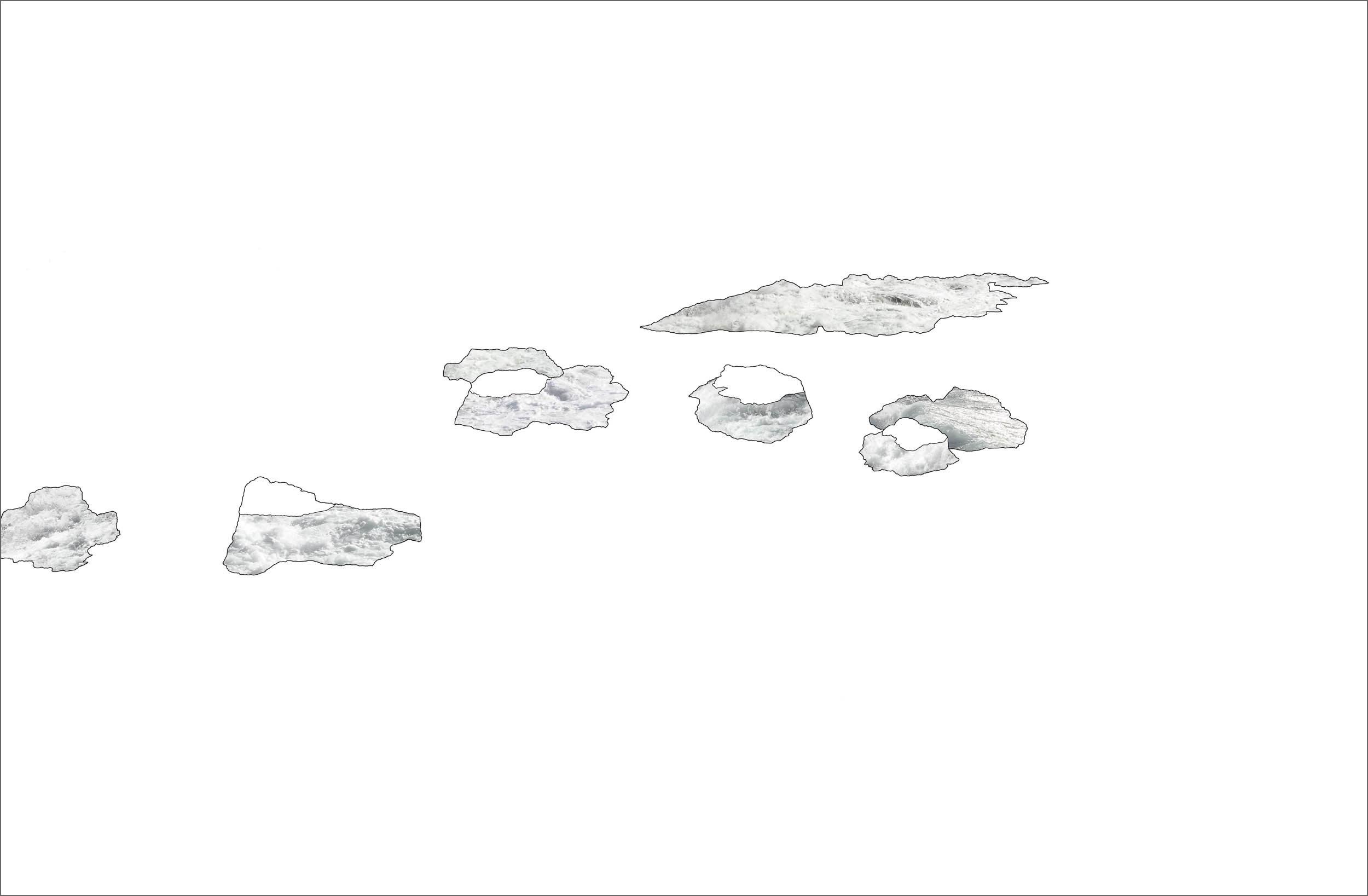
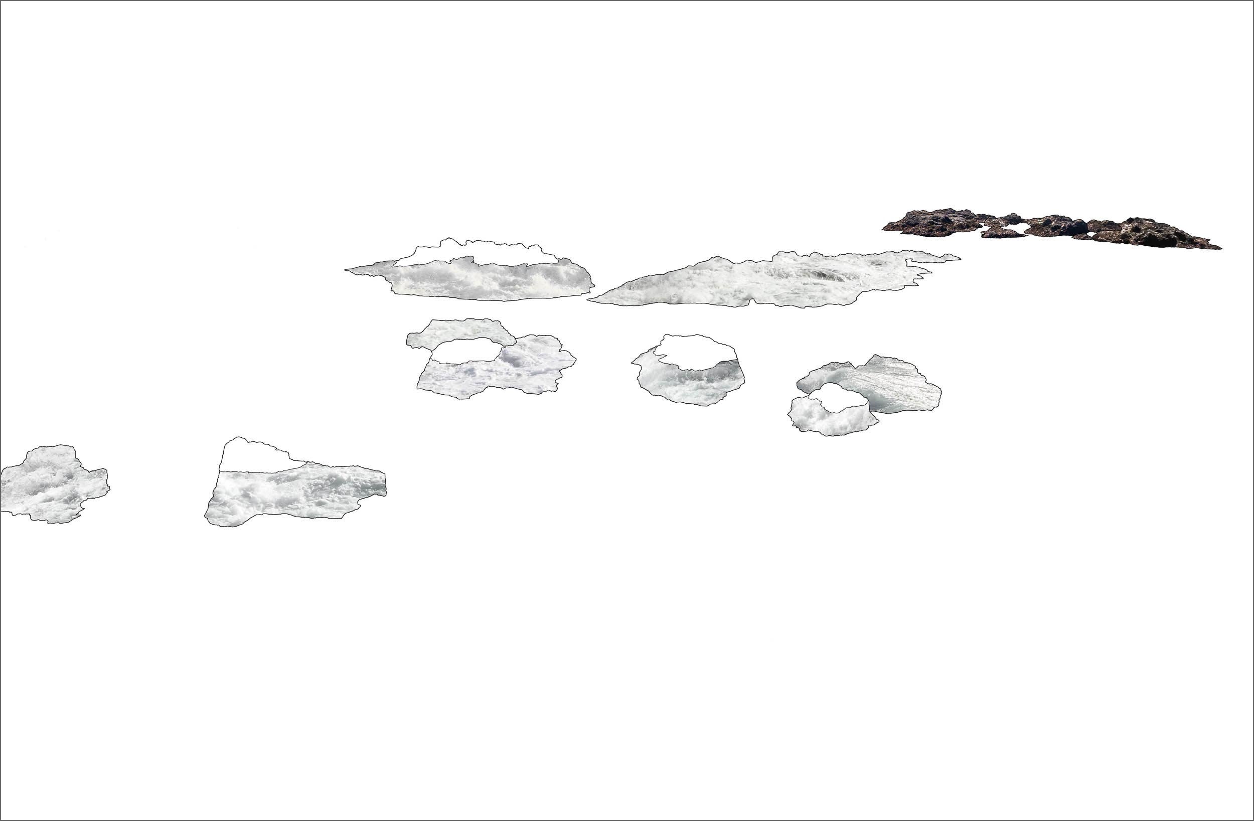
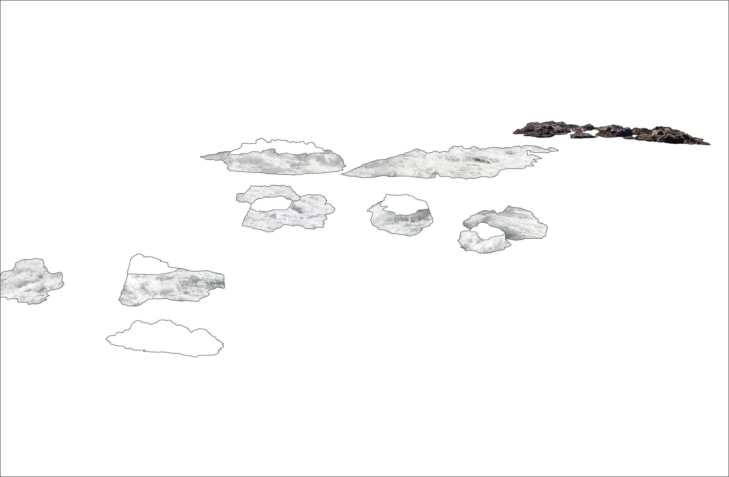
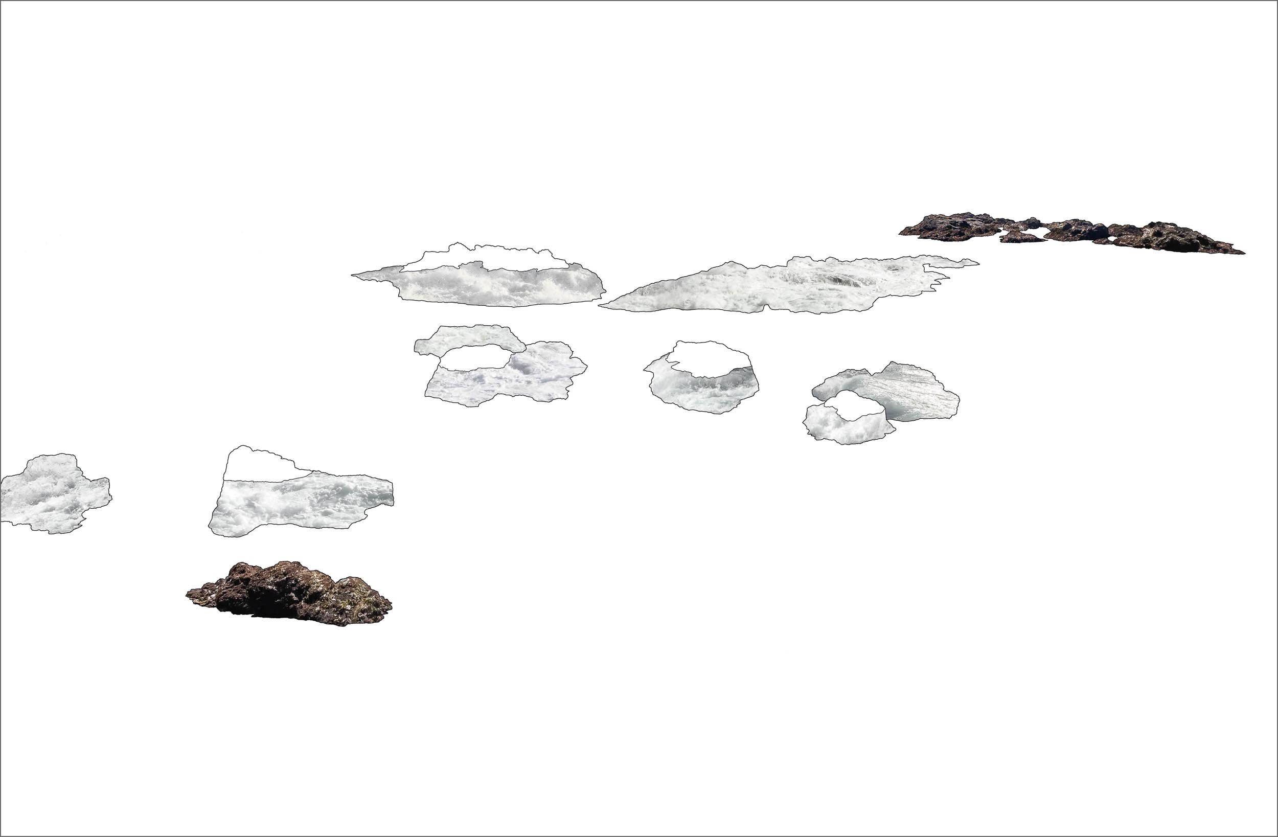
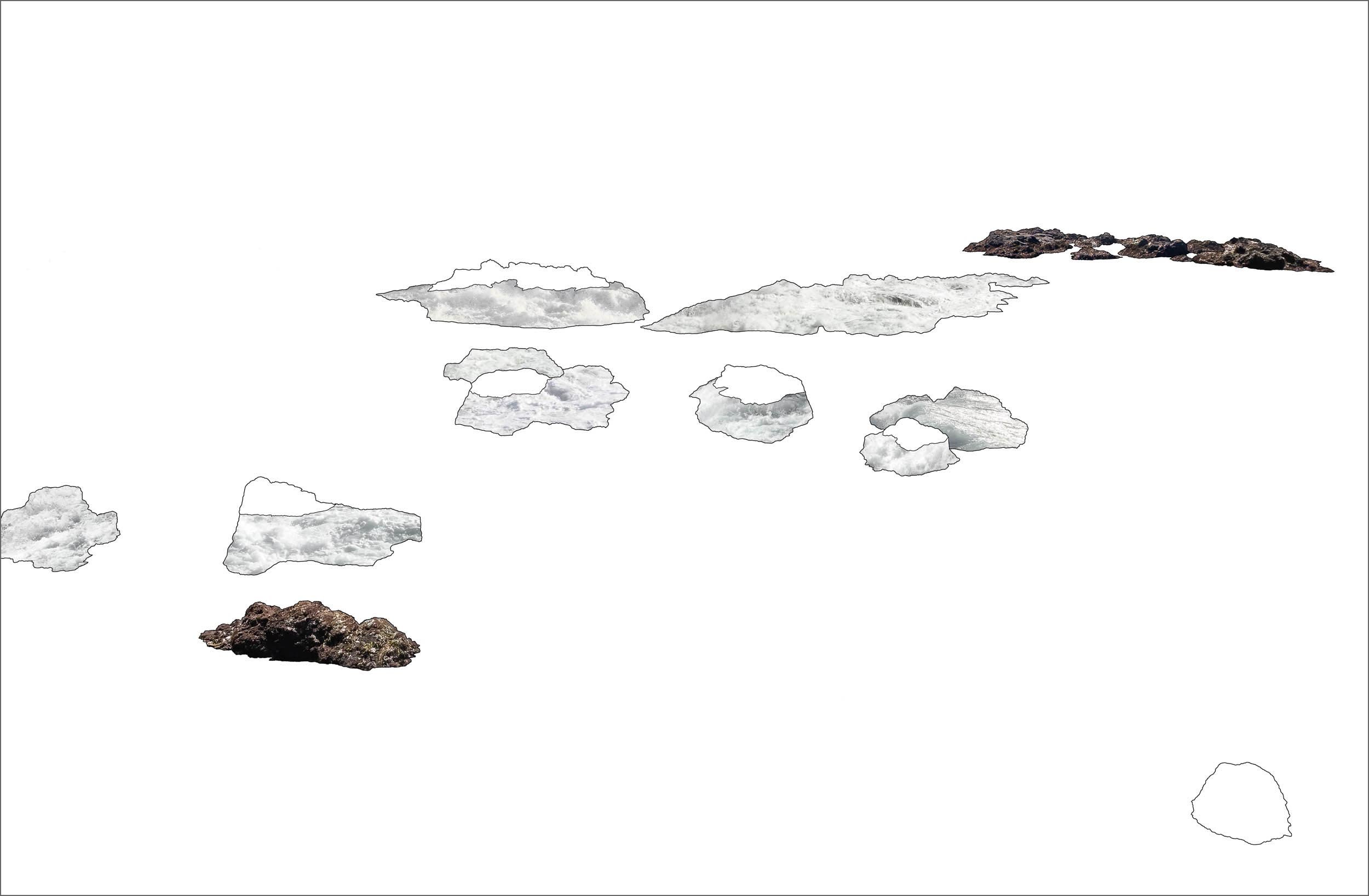
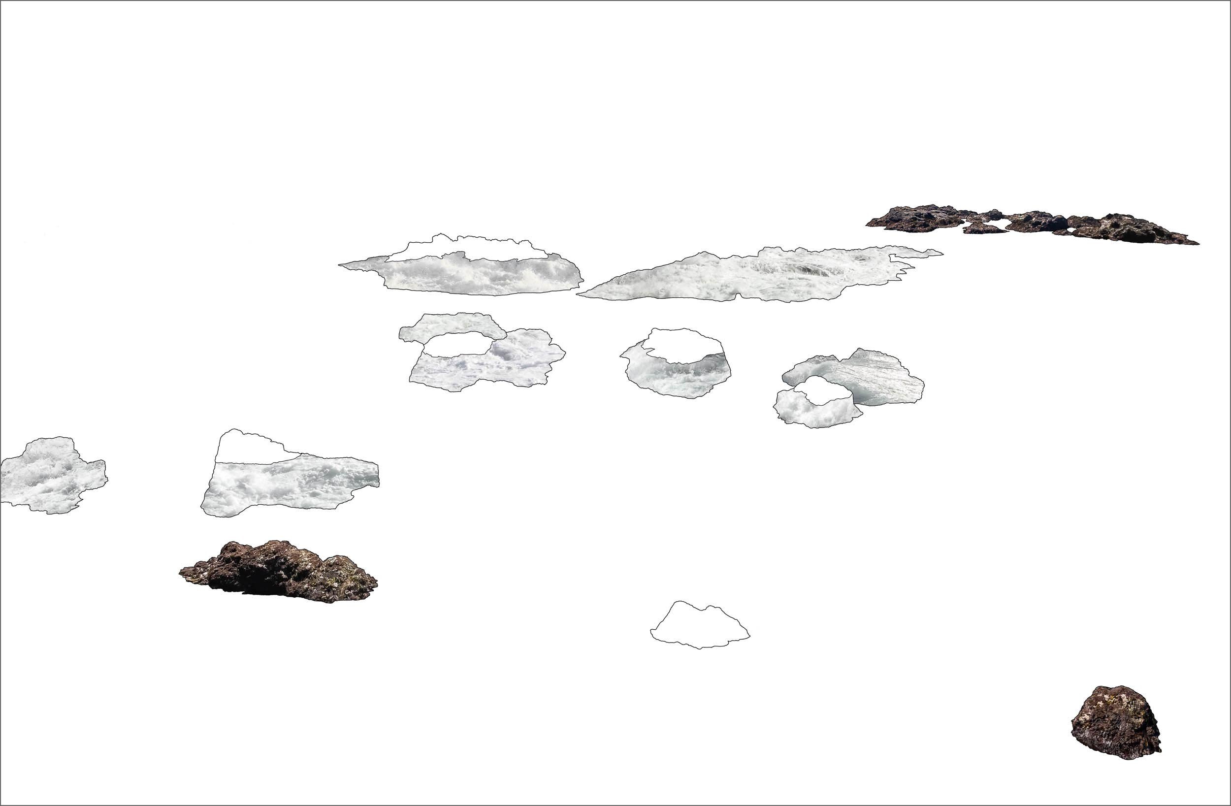
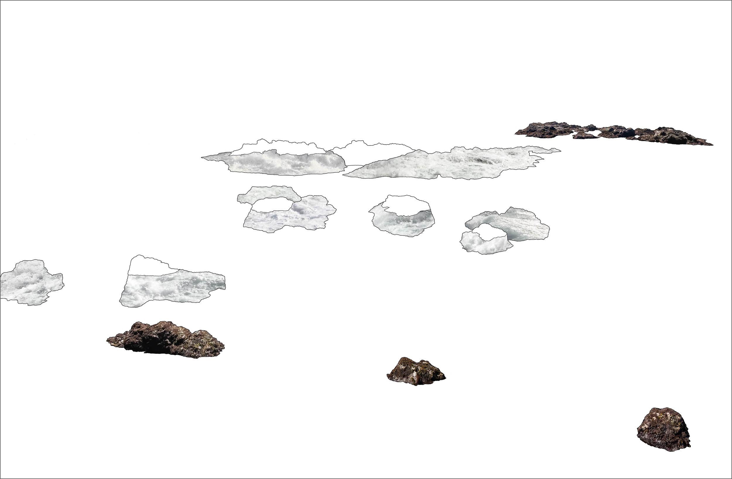
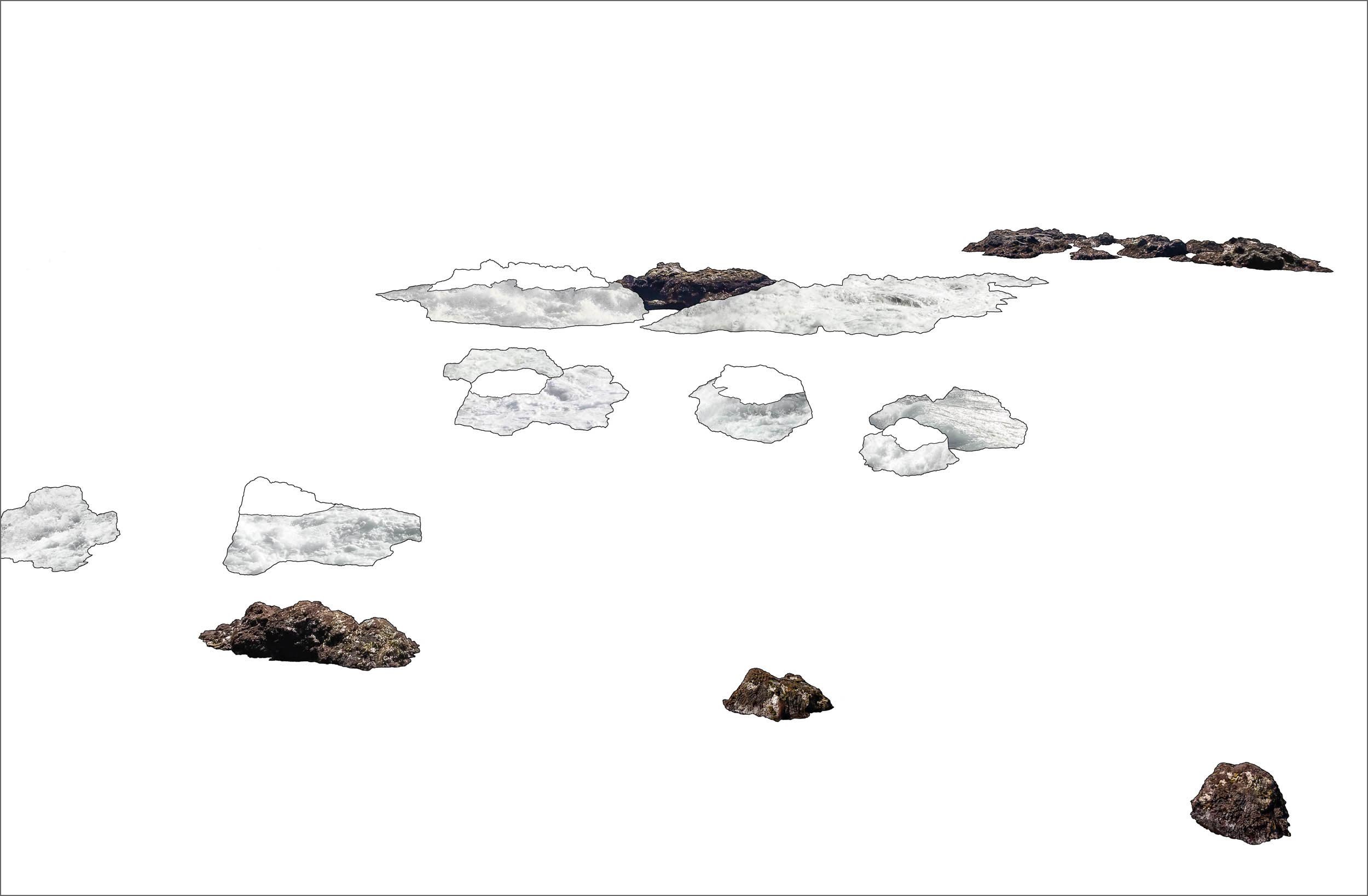
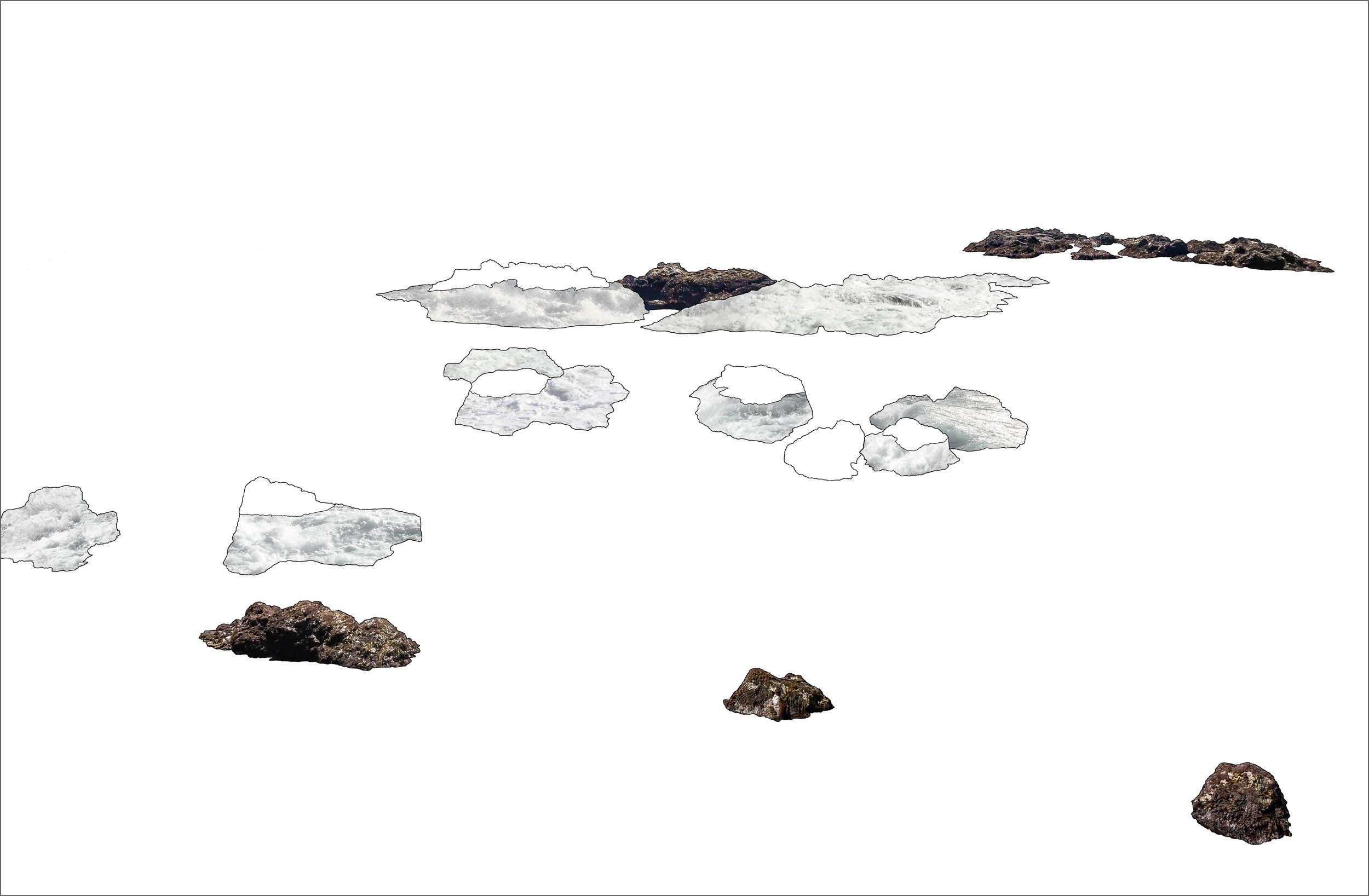
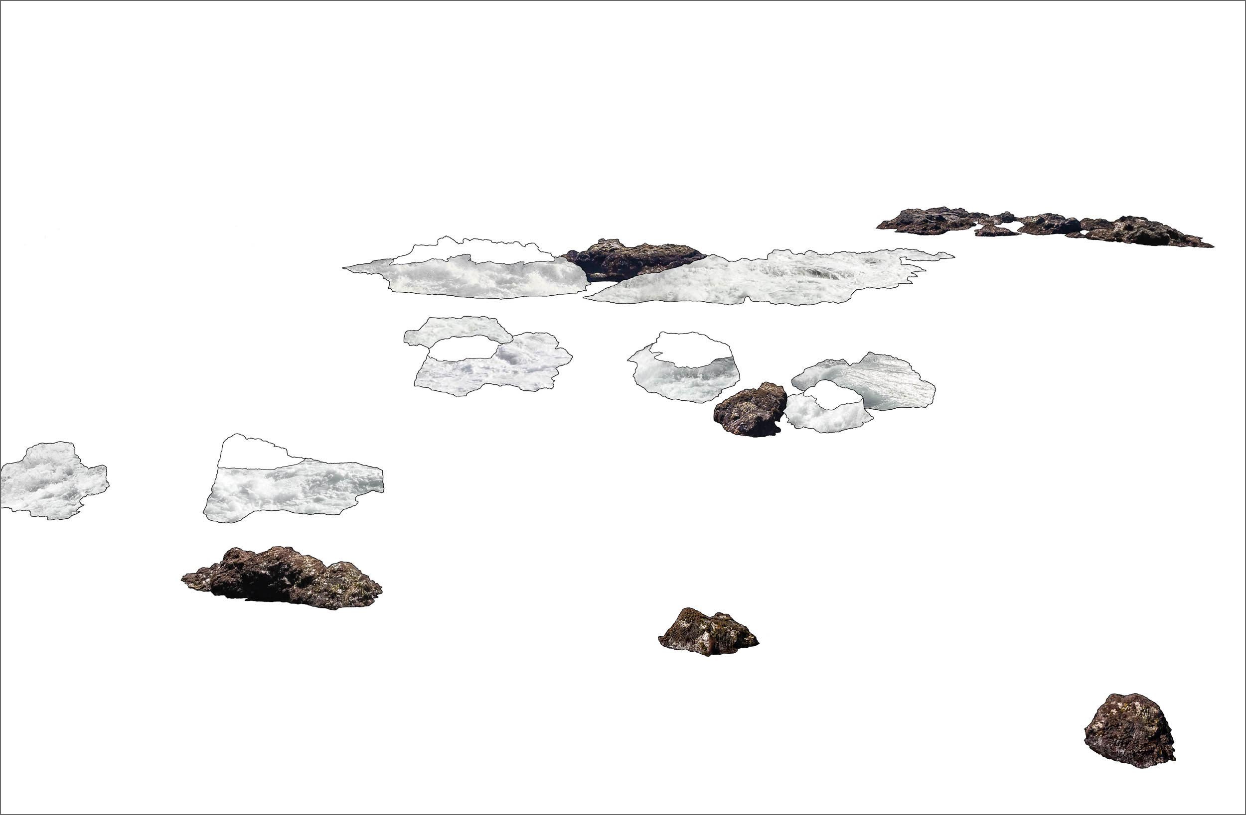
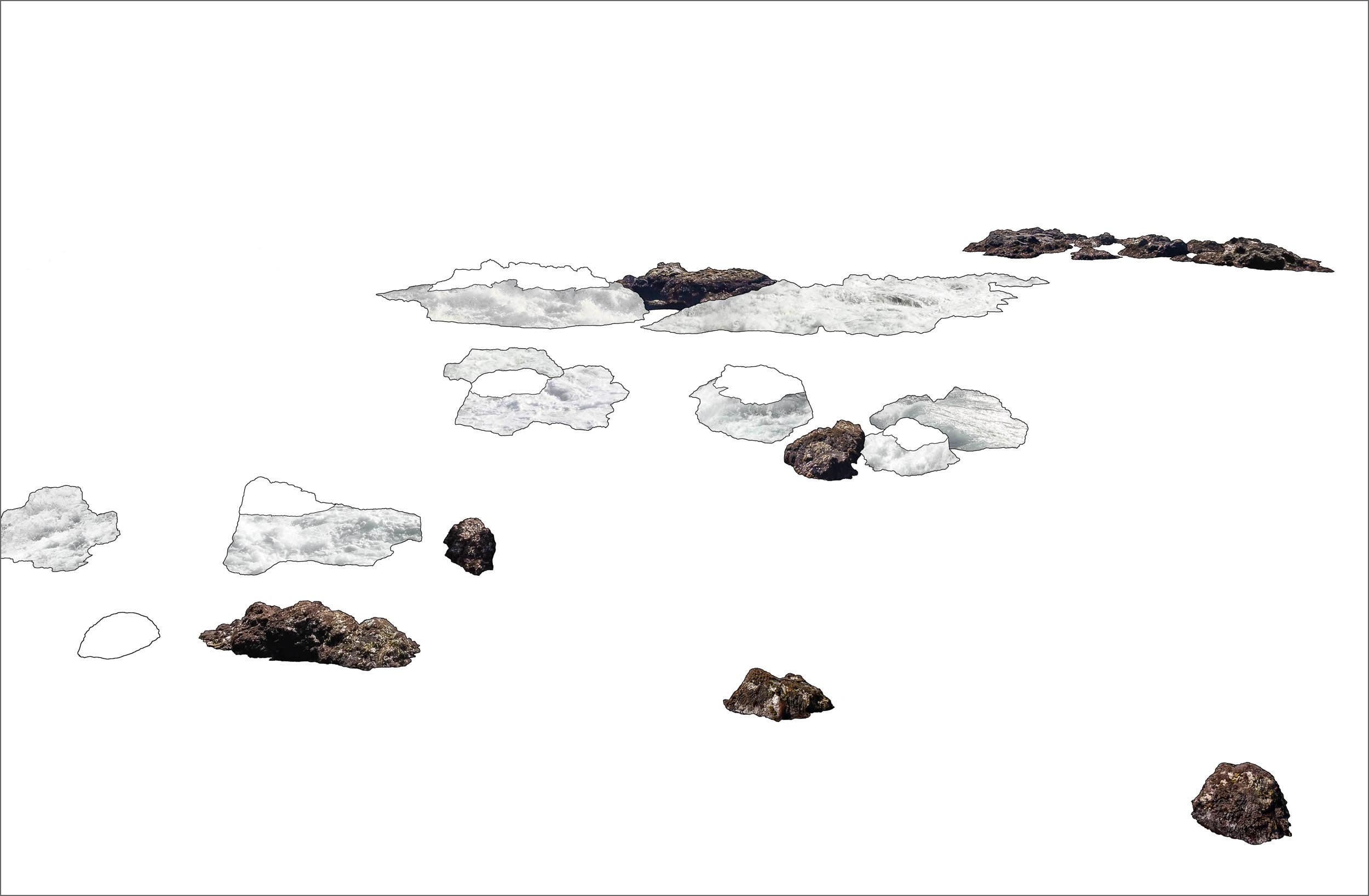
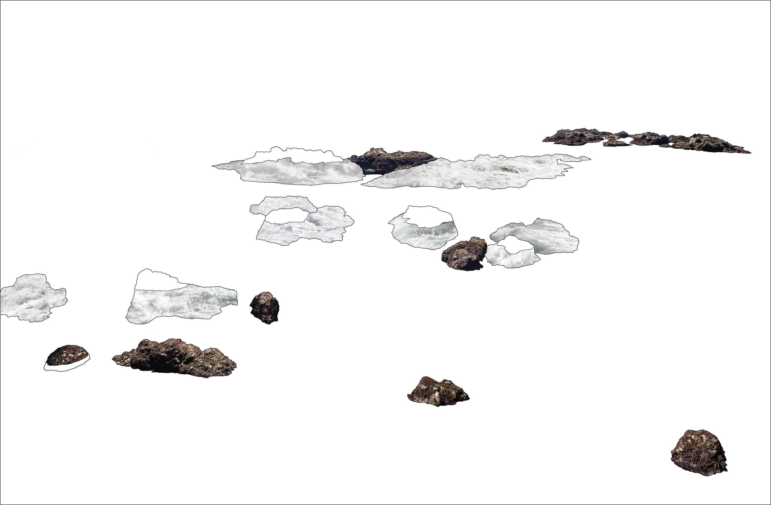
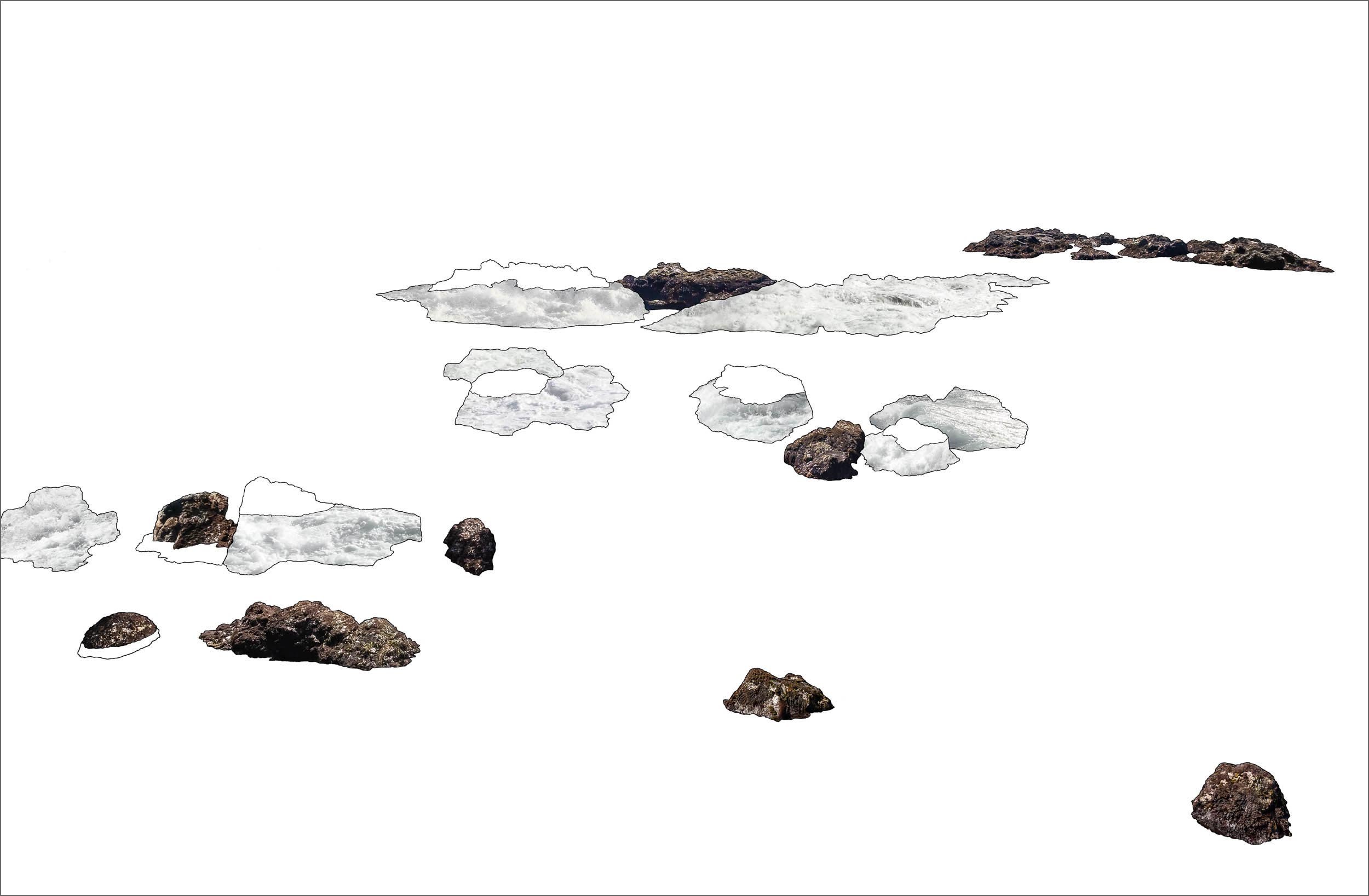
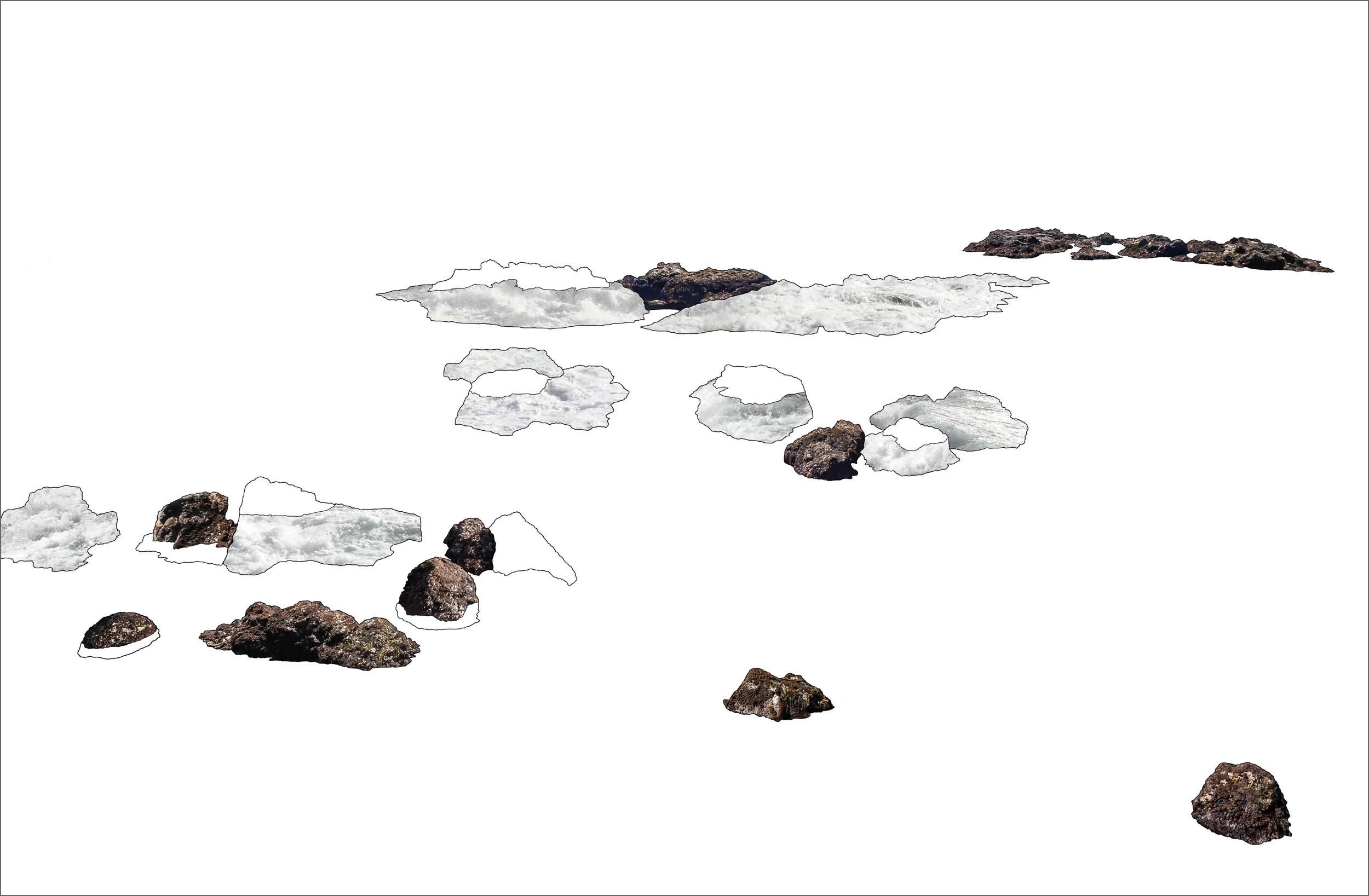
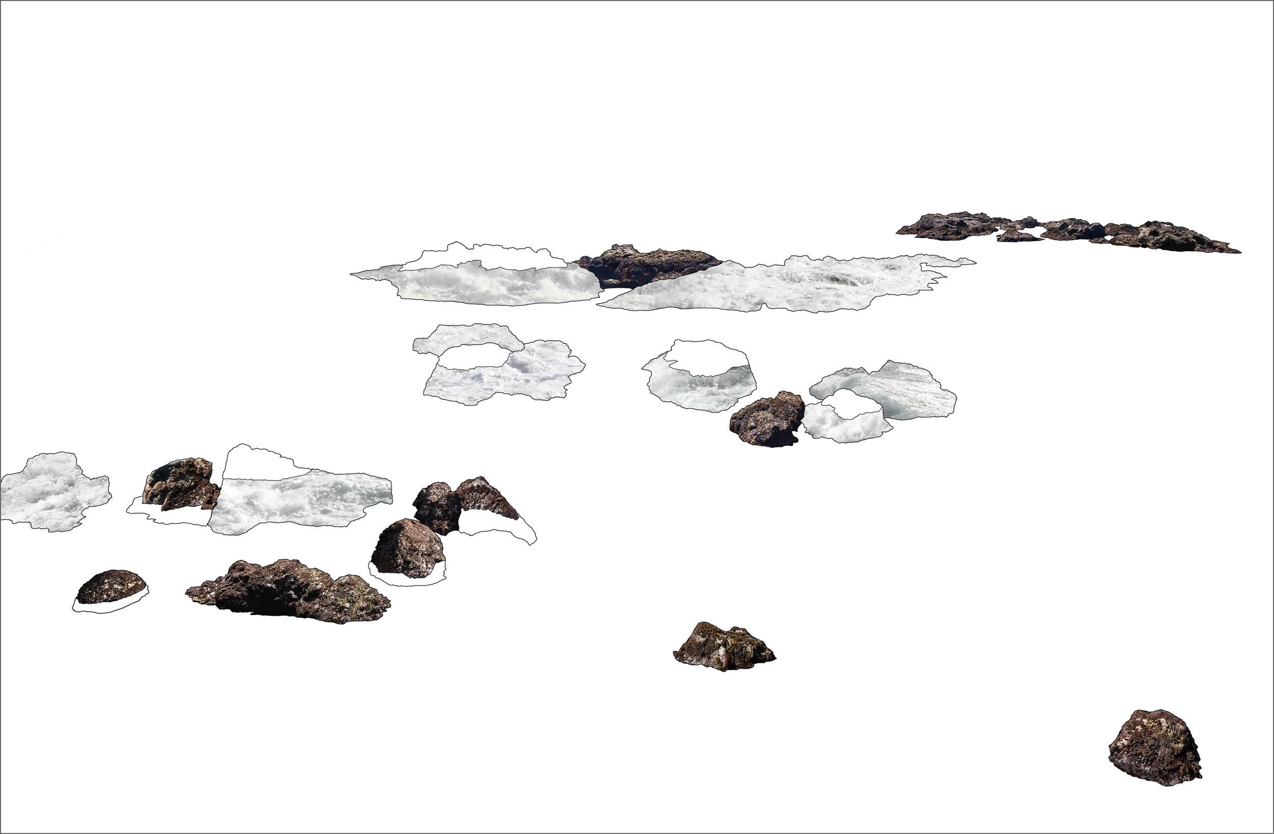
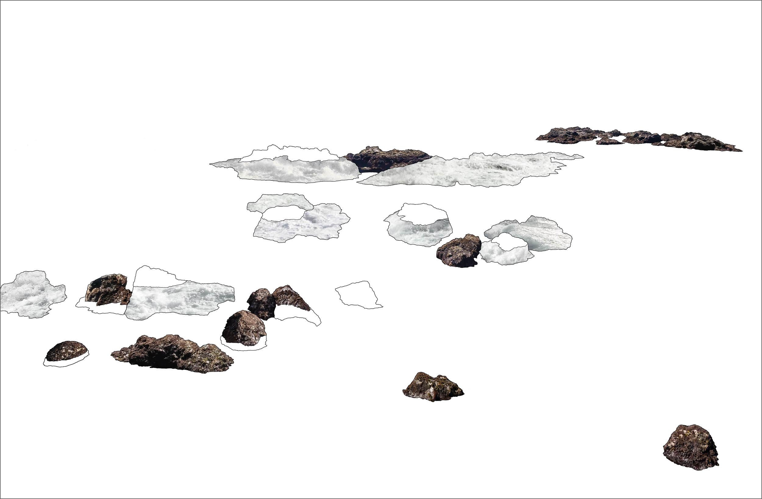
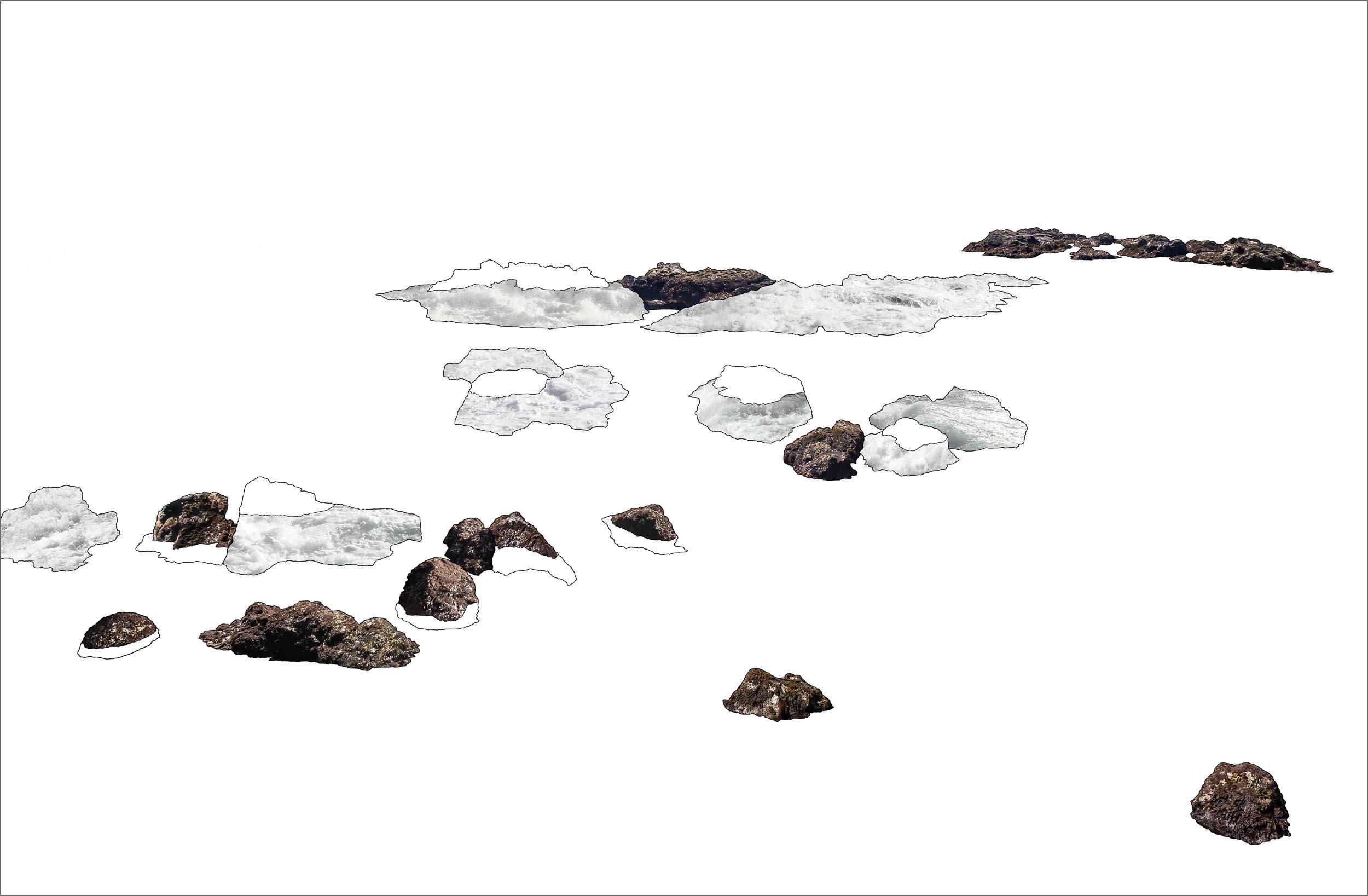
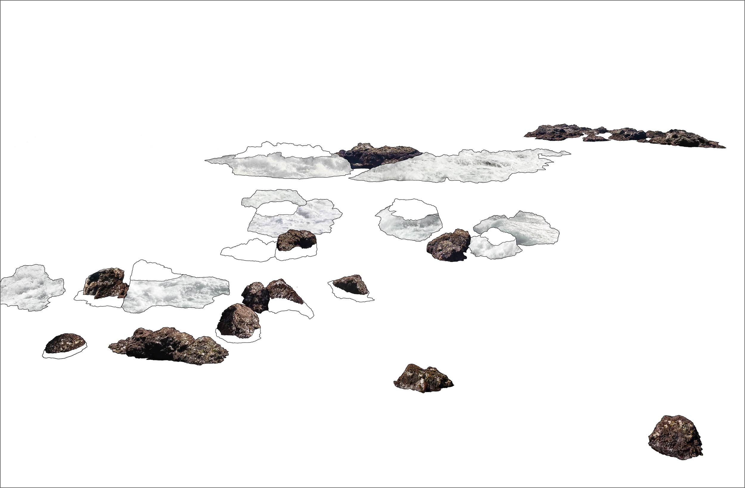
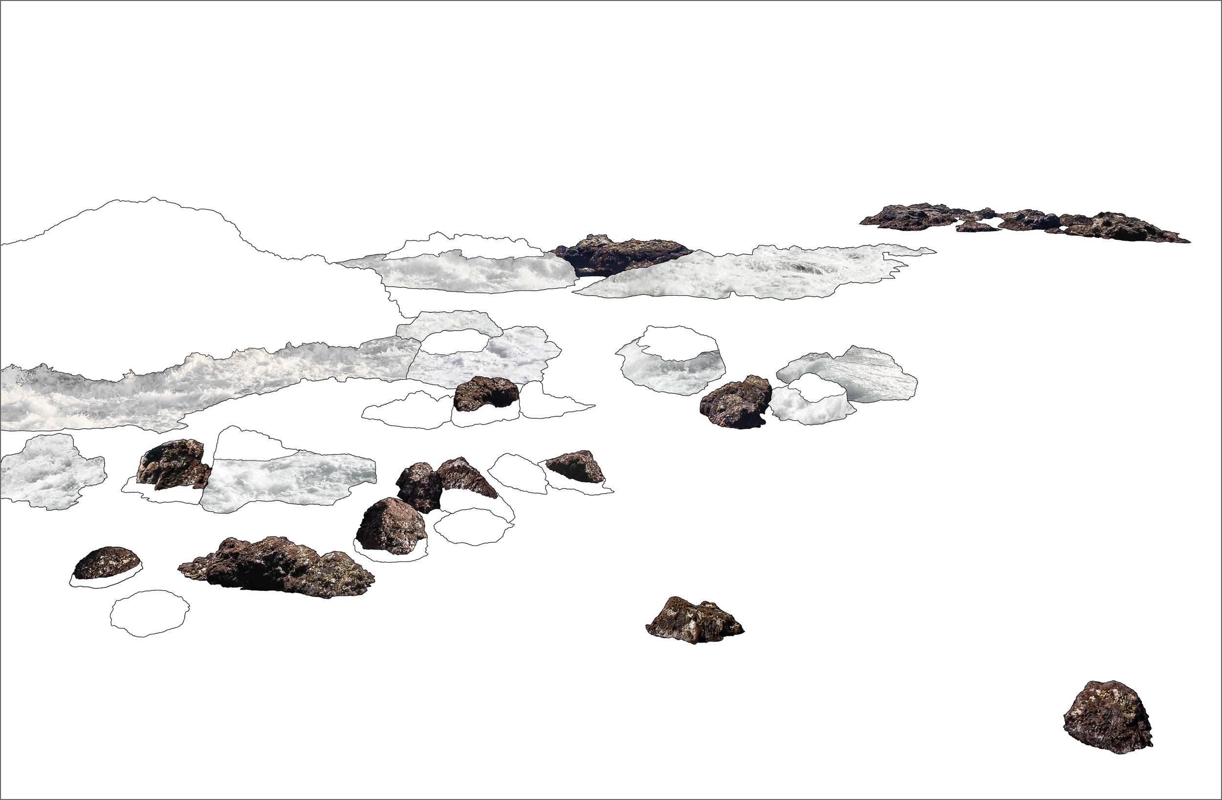
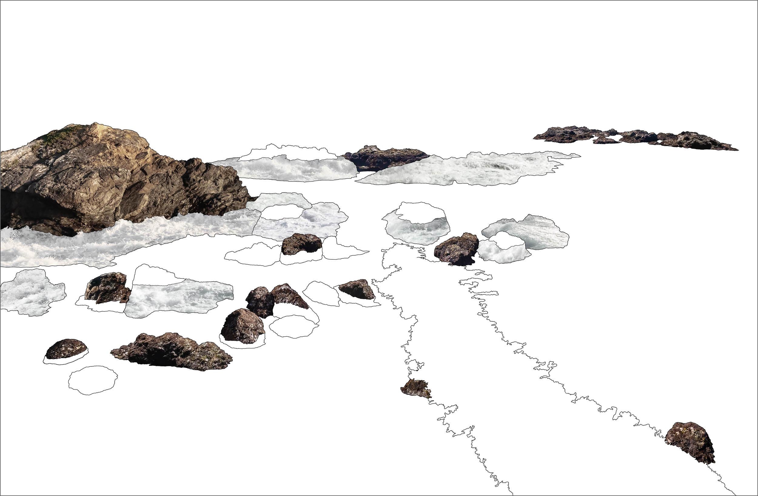
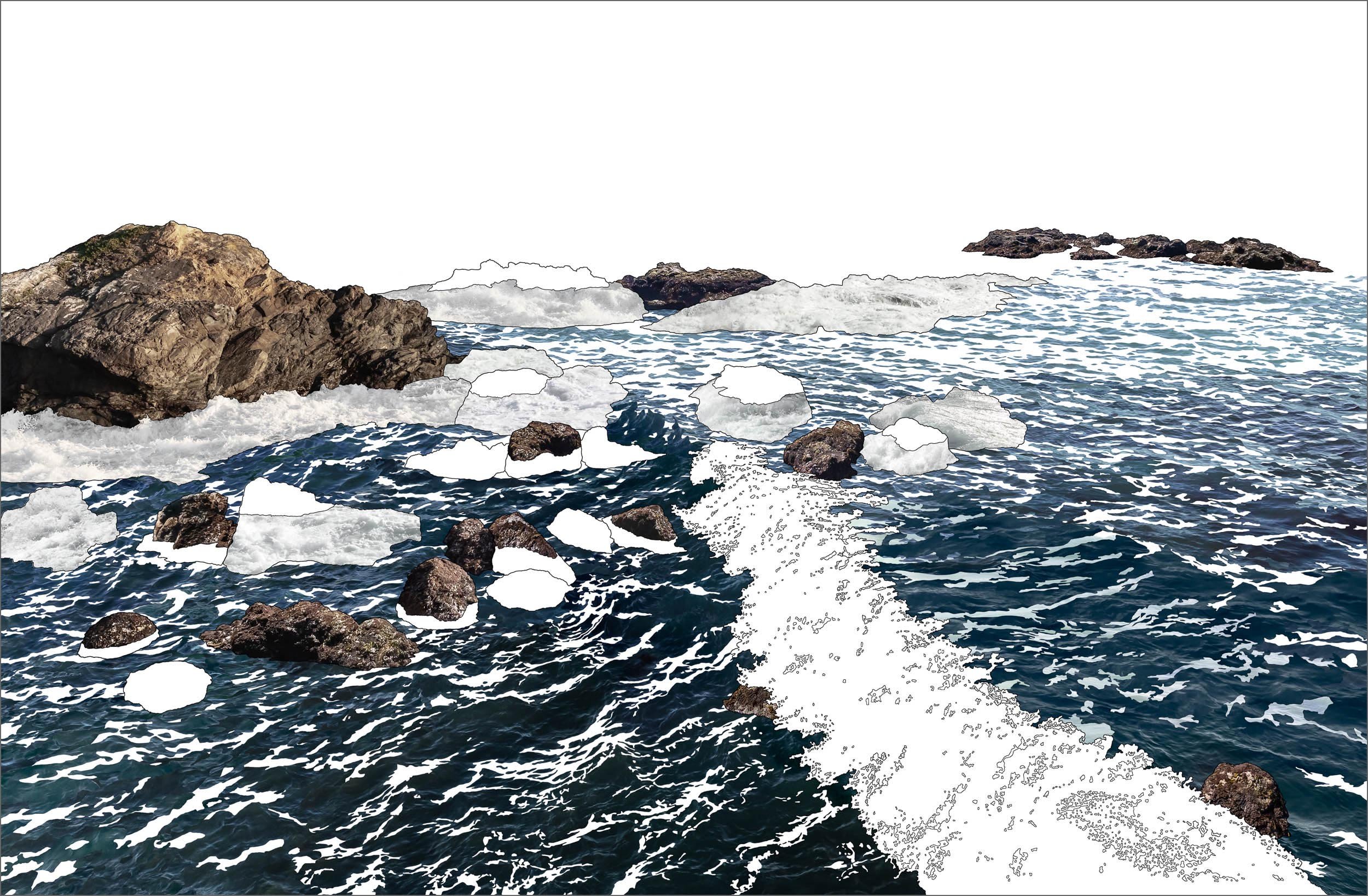
I had created the puzzle pieces but had no idea what the puzzle was supposed to look like. I recalled my childhood introduction to art, a 1950’s accordion fold book, The Art of Japanese Woodblock Printing. The first panel was the landscape outline while each sequential fold was stamped with one carved layer of color until the completed picture materialized at the end. Perfectly illustrating how a composition is formed through the layering process I realized that instead of blocks color I could fill my outline with blocks of time.
THE TIDAL BLOCK EQUATION
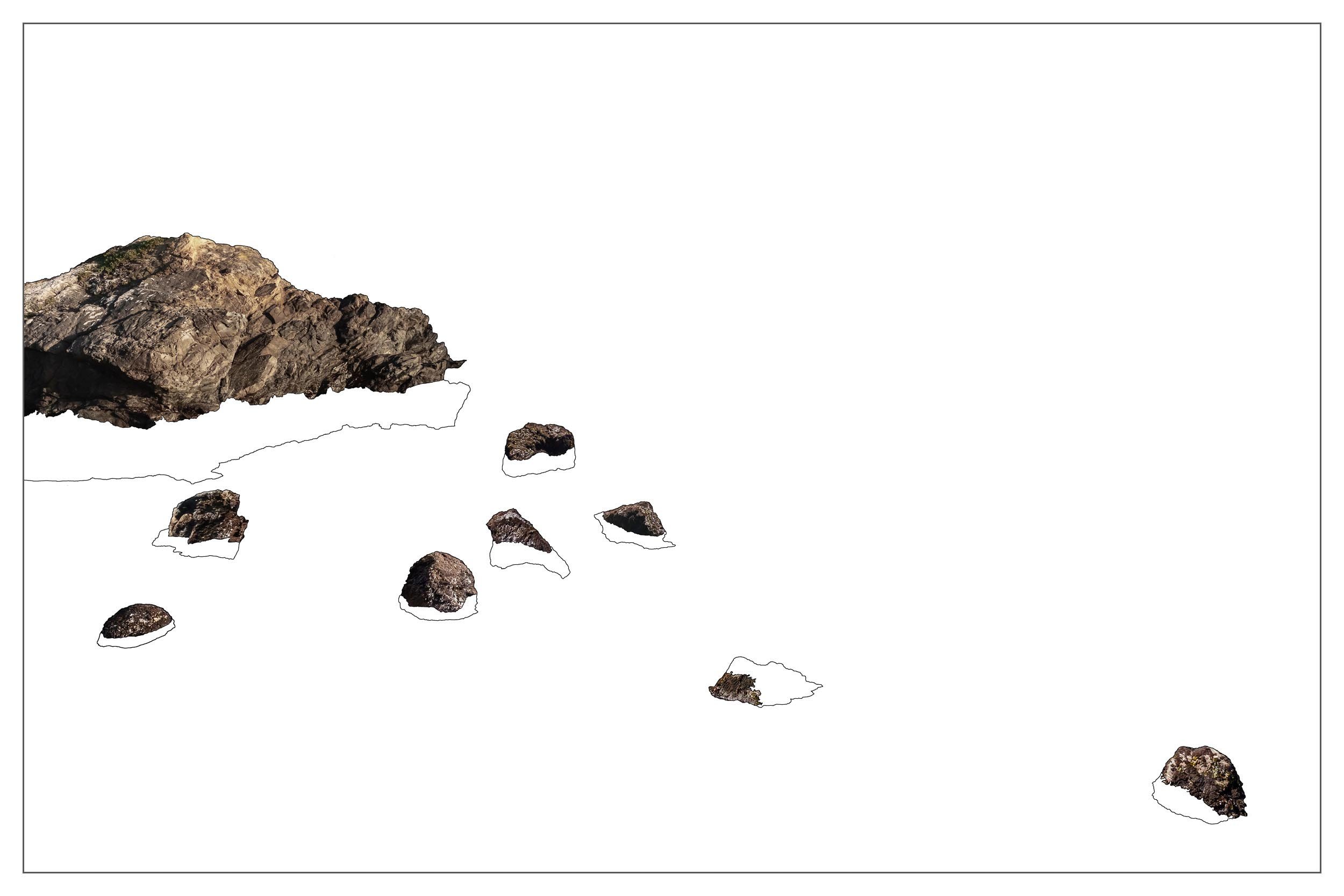
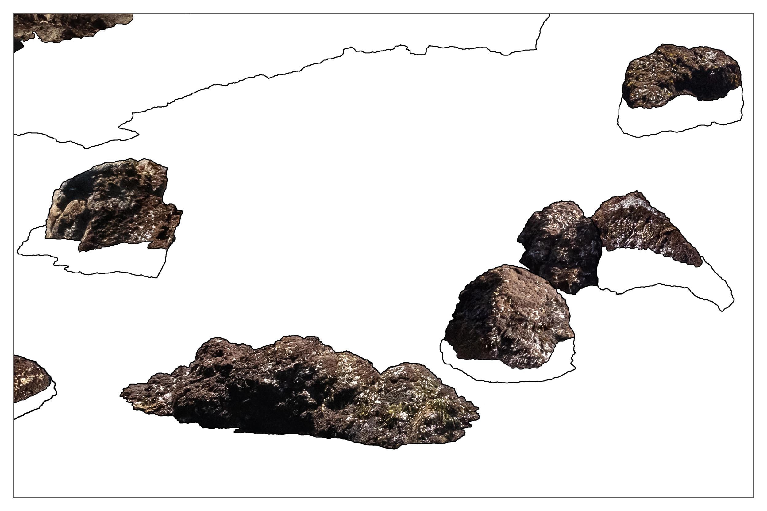
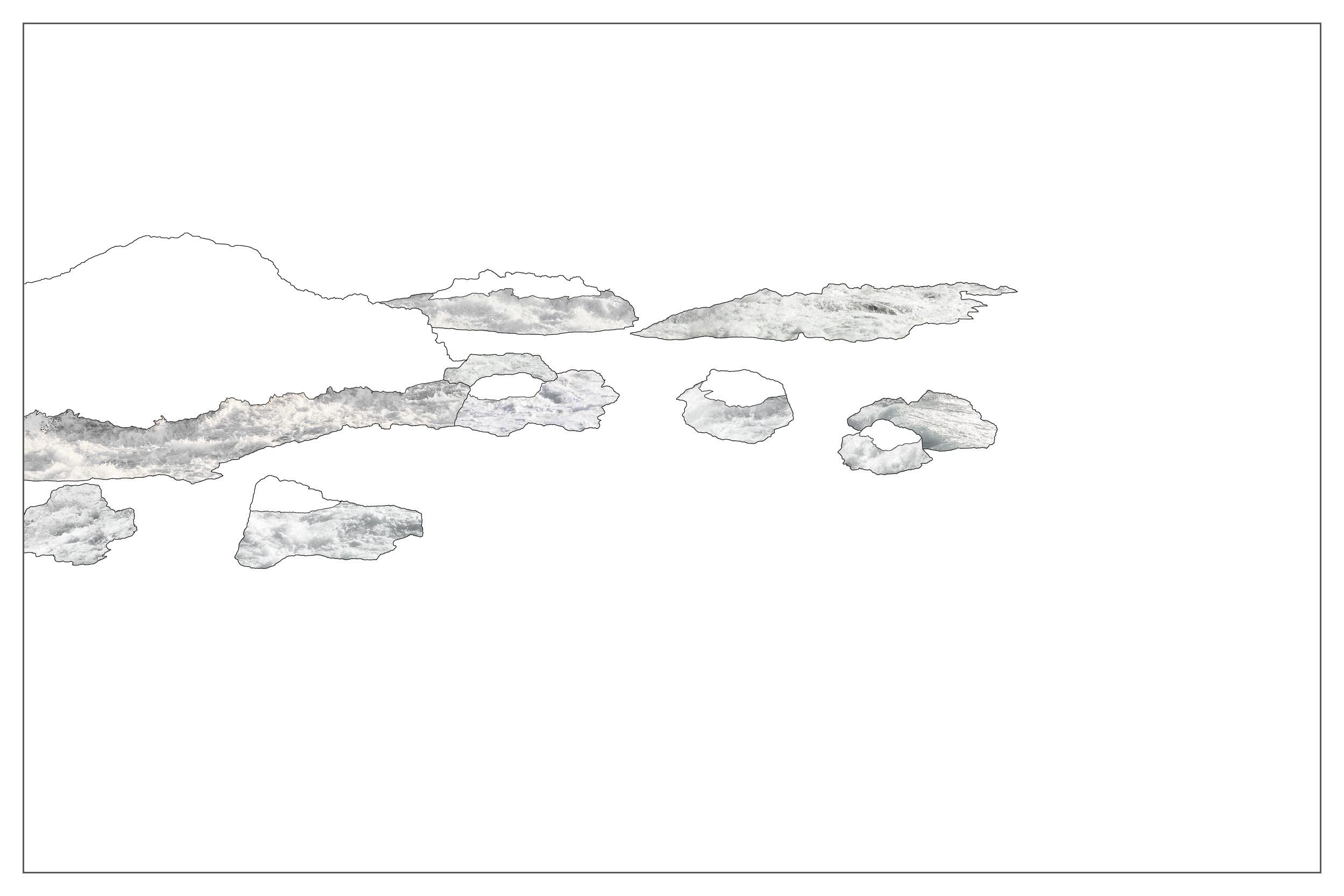
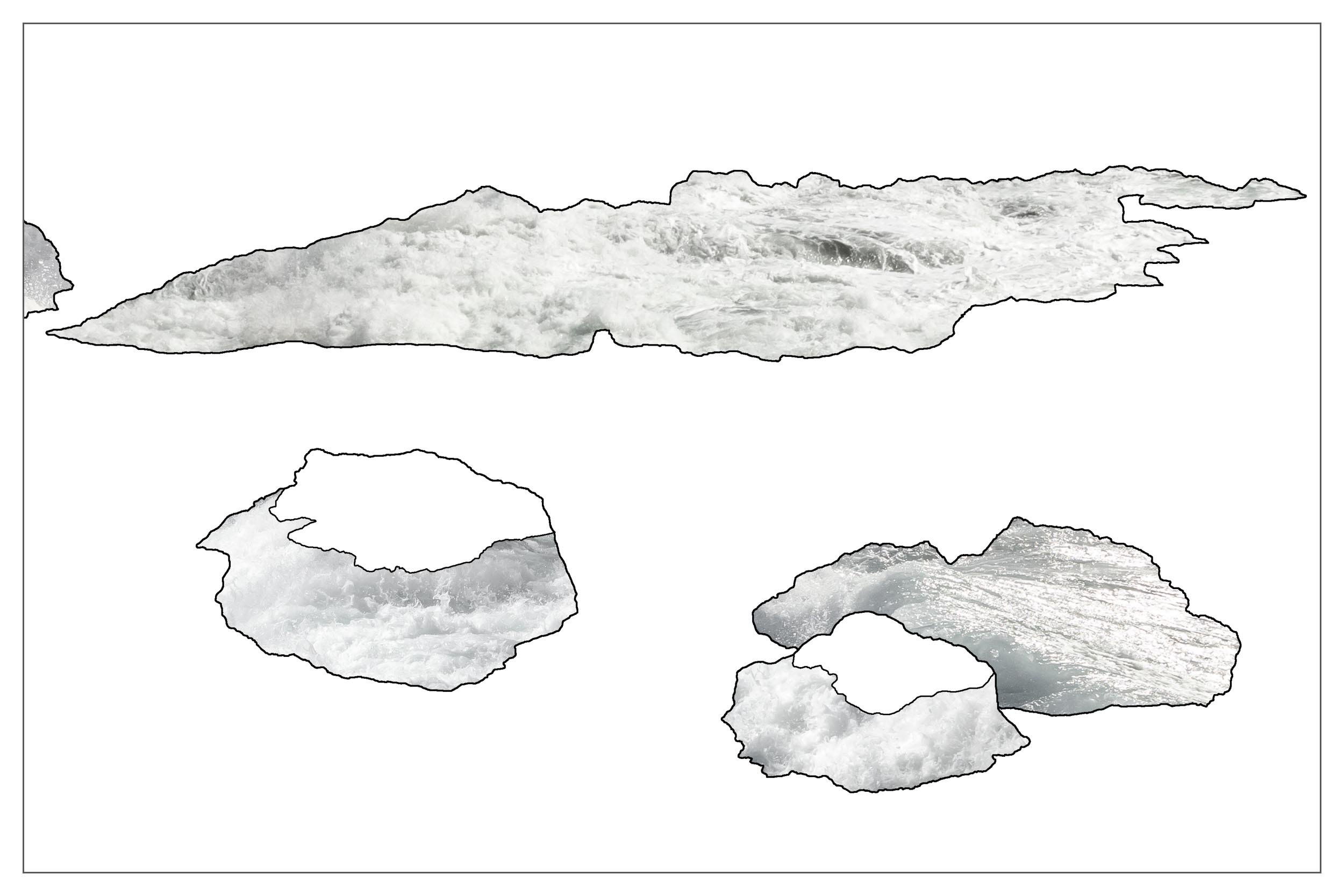
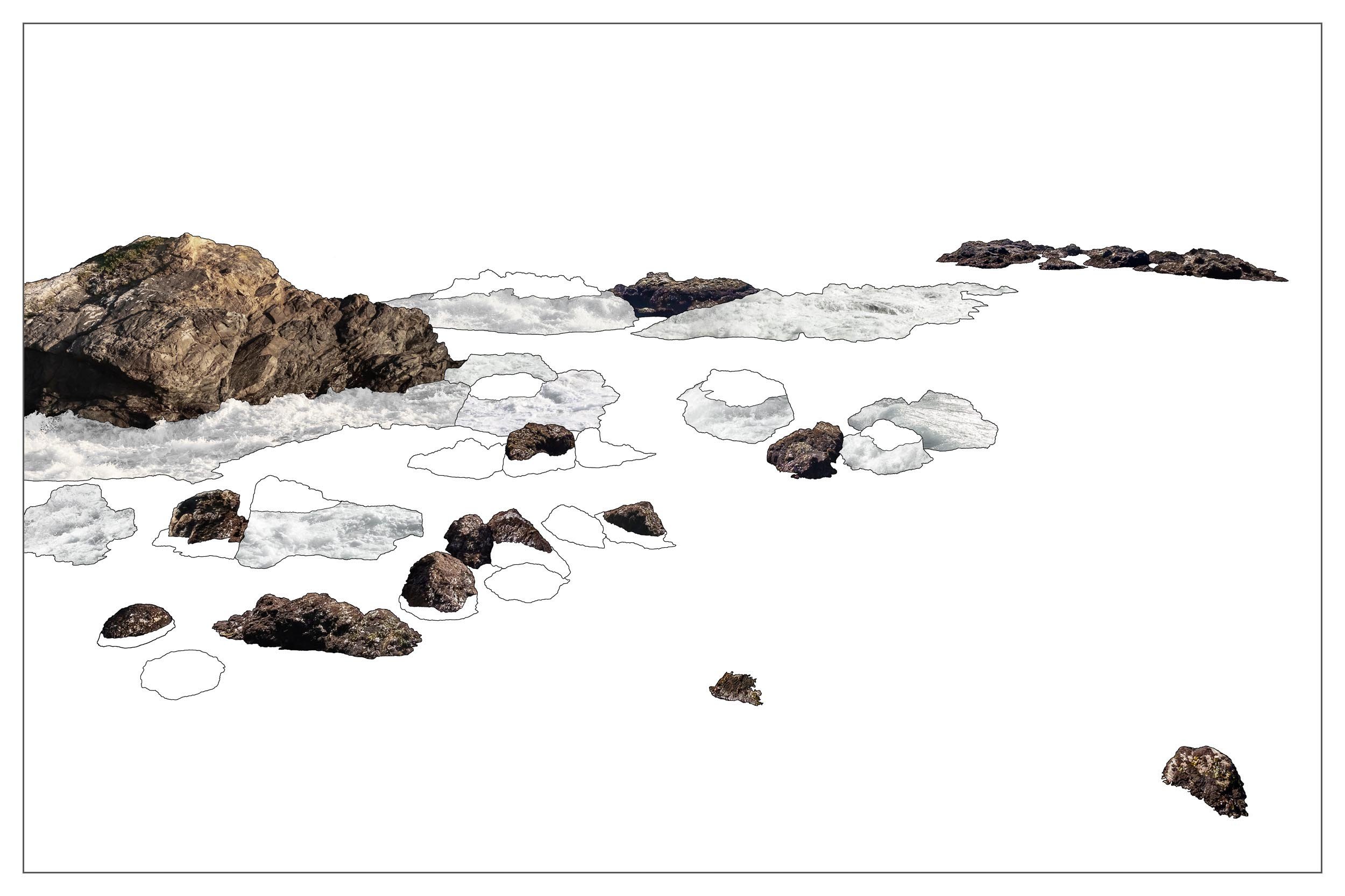

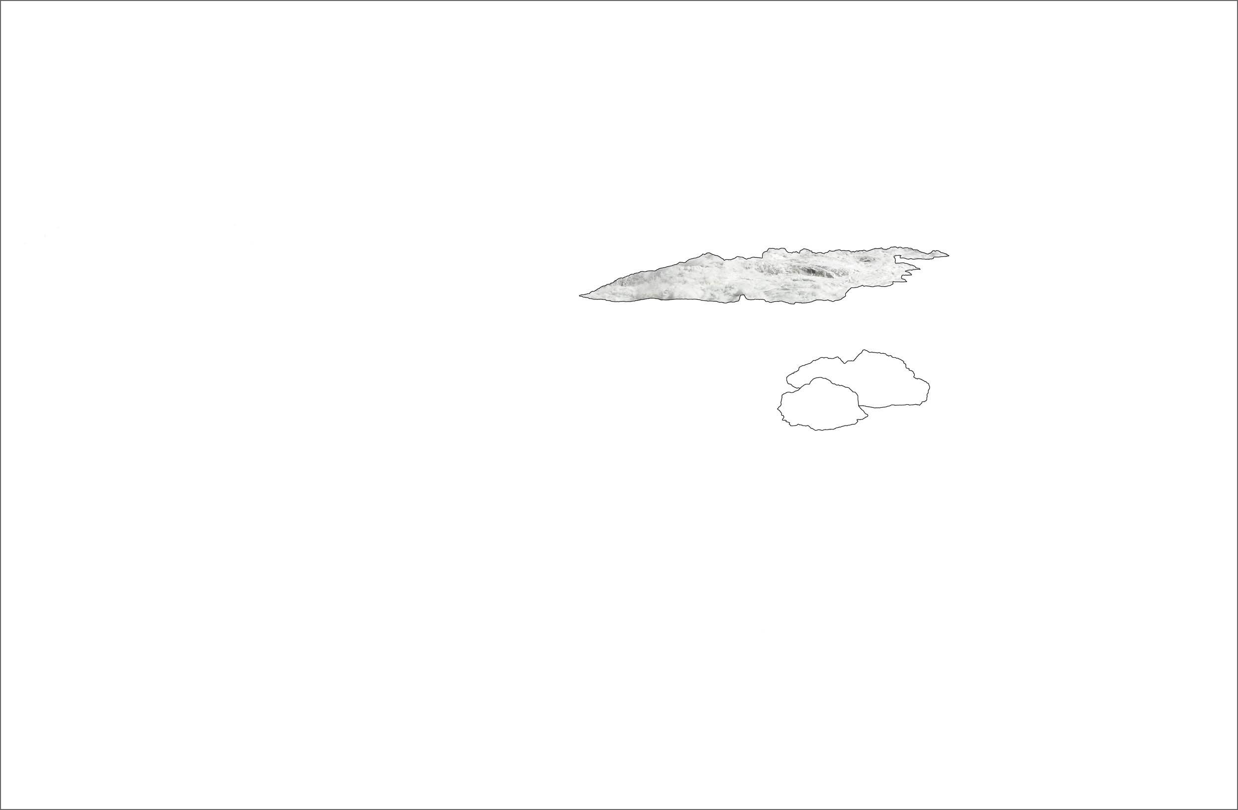
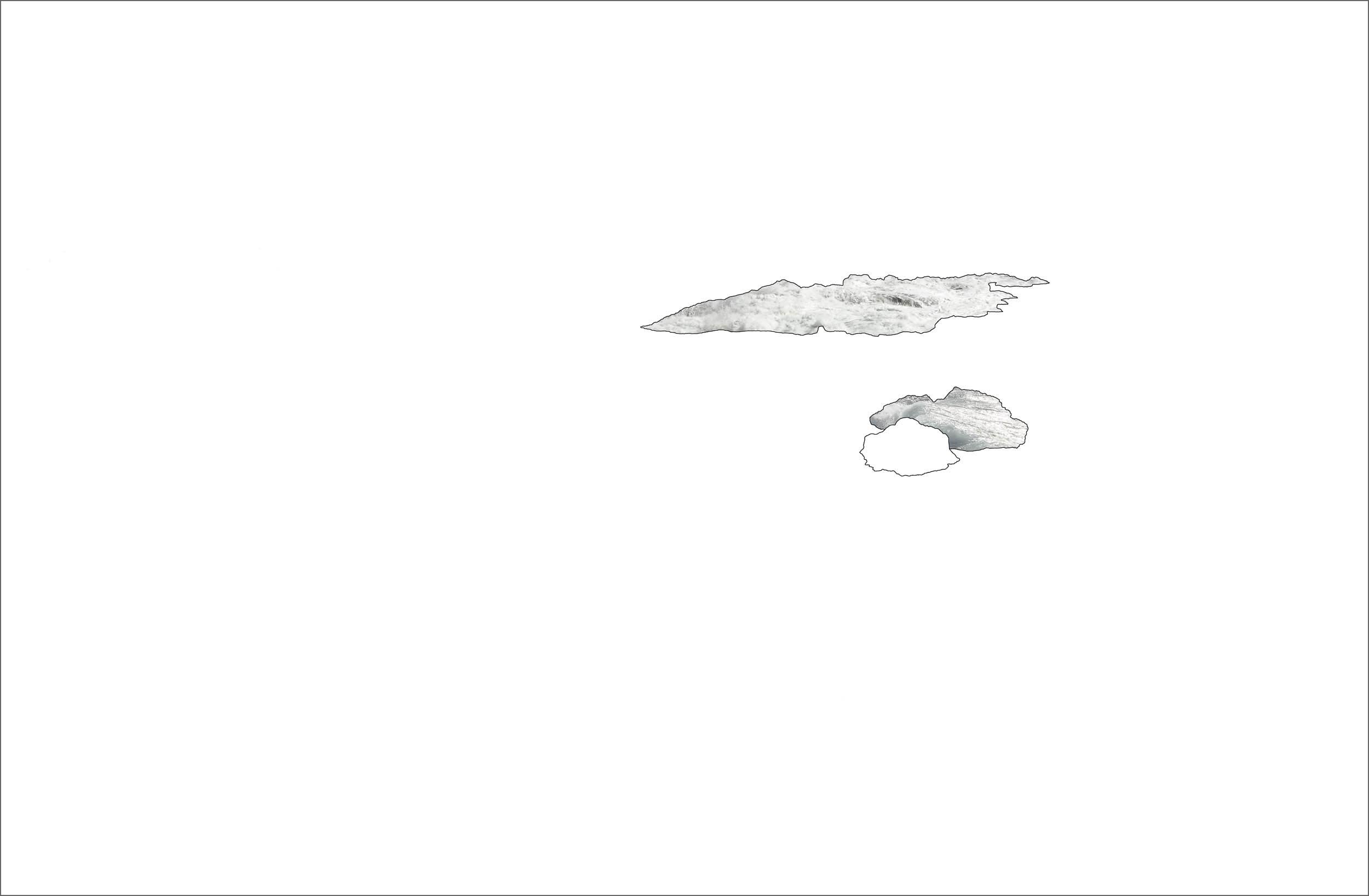
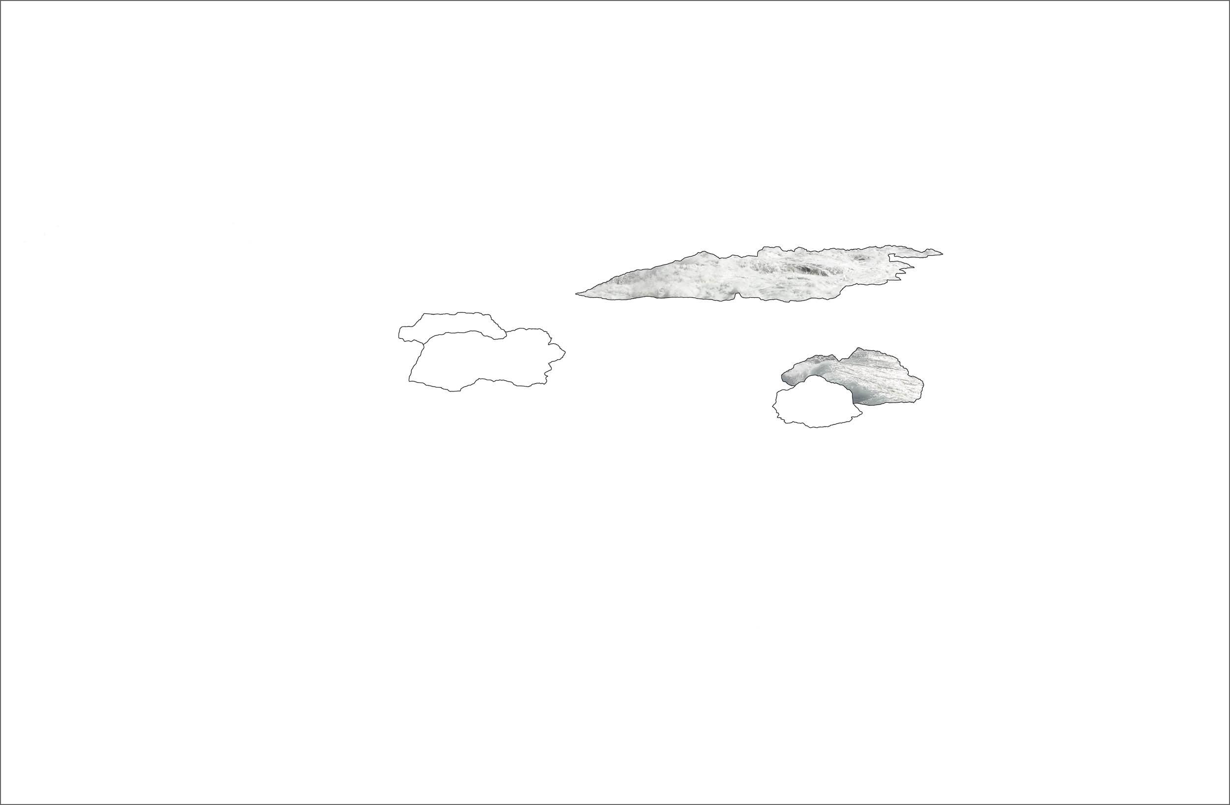
There had to be a method to the madness, or I could never tackle 40 days of photographs to make one picture. To convey the tidal levels, the rocks were grouped by height. Since it was a rare condition to witness, the tallest rocks would be filled with white water, while constantly exposed areas left empty. The medium sized rocks would be filled or half-filled depicting the intertidal zone shift, sometimes hidden, sometimes revealed. The lowest, sub-tidal rocks would be empty since you can rarely see them at all. With the Tidal Block Print equation established, my original goal to see all the tidal levels at once could finally be realized.